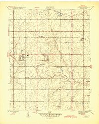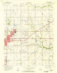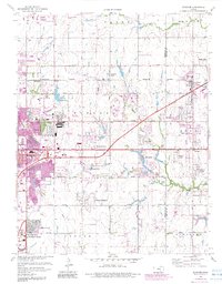
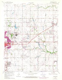
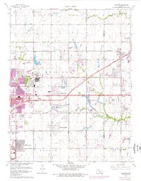
1961 Map of Andover
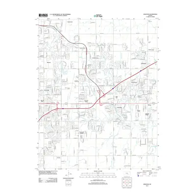
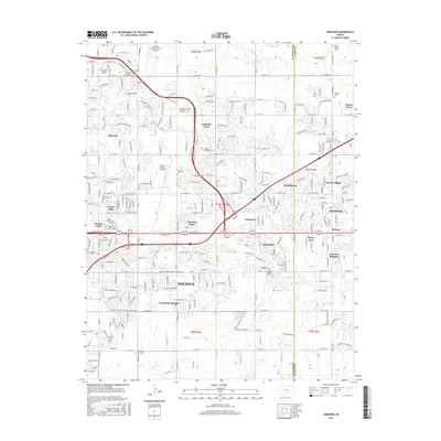
USGS Topo · Published 1983About this map
The eastern edges of Wichita meet the developing township of Andover in this mid-century survey, which details a landscape heavily influenced by the aviation industry and the post-war expansion of suburban neighborhoods. Industrial and military activity is anchored by Mc Connell Air Force Base in the southwest and the Beech Factory Landing Field near the center, highlighting the region's historical role as an aviation hub. Residential growth is visible in numerous named developments such as Lakeside Acres, Bonnie Brae, and Mecca Acres, often situated near the corridor of the Kansas Turnpike (Toll Road). While urbanization moves eastward, traditional community landmarks like Seltzer Spring, Andover Cem, and rural schools like Mammoth Cave Sch remain as anchors of the earlier agrarian character. The transition from prairie to suburb is further evidenced by the conversion of land for recreation at the Wichita Country Club and Fox Meadows Country Club.
Find a feature on this map
60 named features on this map. Tap any name to fly to it.
Don’t see what you’re looking for? This feature index may not catch every label — zoom into the map to look around manually.
Map Details
Editions of this 1961 Andover Map
4 editions found
Historical Maps of Wichita Through Time
8 maps found