
1963 Map of Andytown
USGS Topo · Published 1964About this map
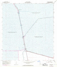
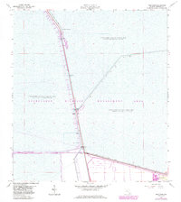
Andytown sits at the intersection of critical South Florida water management systems during the early 1960s. This survey illustrates the engineered landscape of the Everglades, defined by massive water impoundment zones including Conservation Area No 3A, Conservation Area No 2A, and Conservation Area No 2B. The area is bisected by the North New River Canal and the New River Canal, which serve as the primary conduits for water movement through the region.
Find a feature on this map
15 named features on this map. Tap any name to fly to it.
Don’t see what you’re looking for? This feature index may not catch every label — zoom into the map to look around manually.
Map Details
Editions of this 1963 Andytown Map
3 editions found
Other maps of this area

1956 · West Palm Beach
USGS Topo · 1:250,000

1957 · West Palm Beach
USGS Topo · 1:250,000

1958 · West Palm Beach
USGS Topo · 1:250,000

1963 · Cooper City SW
USGS Topo · 1:24,000

1963 · Fort Lauderdale 2 SE
USGS Topo · 1:24,000
1963 · Cooper City NE
USGS Topo · 1:24,000
1963 · Cooper City
USGS Topo · 1:24,000

1973 · Everglades 4 NE
USGS Topo · 1:24,000

1973 · Everglades 4 SE
USGS Topo · 1:24,000

1973 · Fort Lauderdale 2 SW
USGS Topo · 1:24,000