
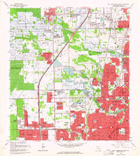
1963 Map of Fort Lauderdale 2 SE
USGS Topo · Published 1964About this map
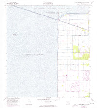
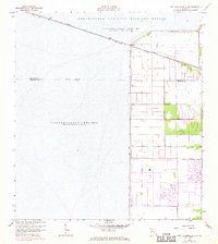
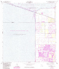
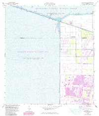
The Hillsboro Canal acts as a stark dividing line on this 1960s landscape, separating the engineered drainage systems of the developing coast from the vast water storage areas of the northern Everglades. To the west, the Loxahatchee National Wildlife Refuge and Conservation Area No 1 dominate the terrain, where water is impounded periodically across the Palm Beach and Broward County line. The map records the massive water management infrastructure of the era, including Levee No 38, Levee No 39, and Levee No 40, which facilitate the reclamation of land for agriculture and future suburban expansion. East of the levees, a grid of section lines and early thoroughfares like Holmberg Road and Wiles Road signal the transition to a more human-altered environment, while a local Gravel Pit indicates active construction and resource extraction during this period of South Florida's growth.
Find a feature on this map
15 named features on this map. Tap any name to fly to it.
Don’t see what you’re looking for? This feature index may not catch every label — zoom into the map to look around manually.
Map Details
Editions of this 1963 Fort Lauderdale 2 SE Map
5 editions found
Other maps of this area

1945 · Fort Lauderdale North
USGS Topo · 1:24,000

1946 · West Dixie Bend
USGS Topo · 1:24,000

1947 · Delmar Farms
USGS Topo · 1:24,000

1949 · Fort Lauderdale North
USGS Topo · 1:24,000

1949 · West Dixie Bend
USGS Topo · 1:24,000

1949 · Delmar Farms
USGS Topo · 1:24,000

1956 · West Palm Beach
USGS Topo · 1:250,000

1957 · West Palm Beach
USGS Topo · 1:250,000

1958 · West Palm Beach
USGS Topo · 1:250,000
1962 · Fort Lauderdale North
USGS Topo · 1:24,000