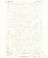
1969 Map of Angela NE
USGS Topo · Published 1973About this map
Grimes Creek meanders through this portion of eastern Montana, defining a landscape marked by ranching and high-plains water sources. The Mather Brothers Ranch stands as a focal point of activity near the center of the sheet, illustrating the importance of established family operations in this cattle-country region. The map captures the interface between Rosebud and Custer counties, where the terrain transitions from upland ridges to drainages like Horse Creek and Alkali Creek.
Find a feature on this map
11 named features on this map. Tap any name to fly to it.
Don’t see what you’re looking for? This feature index may not catch every label — zoom into the map to look around manually.
Map Details
Editions of this 1969 Angela NE Map
This is the sole edition of this map. No revisions or reprints were ever made.
Other maps of this area

1953 · Miles City
USGS Topo · 1:250,000

1954 · Forsyth
USGS Topo · 1:250,000

1957 · Miles City
USGS Topo · 1:250,000

1957 · Forsyth
USGS Topo · 1:250,000

1958 · Miles City
USGS Topo · 1:250,000

1958 · Forsyth
USGS Topo · 1:250,000

1965 · Rock Springs School
USGS Topo · 1:24,000

1965 · Twin Buttes School
USGS Topo · 1:24,000
1965 · Crow Rock SE
USGS Topo · 1:24,000

1969 · Horse Creek Hill
USGS Topo · 1:24,000