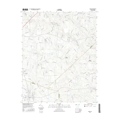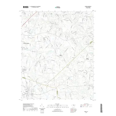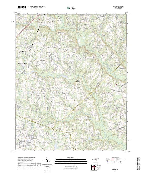
2022 Map of Angier
USGS Topo · Published 2022About this map
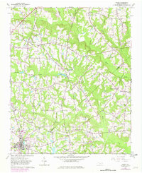
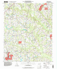
Angier and the surrounding borderlands of Wake, Harnett, and Johnston counties are defined by a complex network of coastal plain tributaries and growing residential developments. This 2022 survey captures the area as suburban expansion from Fuquay-Varina moves southeast, contrasting with the established rural character of Kennebec and Ogburn Crossroads. The landscape is heavily influenced by the drainage patterns of Middle Cr and Black River, with numerous small impoundments such as Roses Pond, Holts Pond, and Shadow Lake dotting the terrain. The map serves as a contemporary record of how modern road networks, including Stage Rd and Lake Wheeler Rd, have integrated these historic agricultural settlements into the broader regional infrastructure. The intricate hydrology of Little Black Cr and Panther Br highlights the transition between upland ridges and the low-lying wetlands that have historically shaped local land use and boundaries.
Find a feature on this map
204 named features on this map. Tap any name to fly to it.
Don’t see what you’re looking for? This feature index may not catch every label — zoom into the map to look around manually.
Map Details
Editions of this 2022 Angier Map
This is the sole edition of this map. No revisions or reprints were ever made.
Historical Maps of Fuquay-Varina Through Time
7 maps found