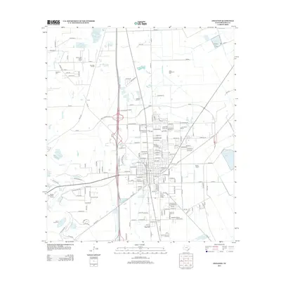
2013 Map of Angleton
USGS Topo · Published 2013About this map
Chenango Oil Field and the Angleton Oil Field define the industrial landscape of this Brazoria County region, where petroleum extraction sits alongside a complex network of coastal bayous and drainage canals. The map documents the intricate water system of the Angleton Lateral and Bastrop Bayou, which drain the flat coastal prairie towards the Gulf. Smaller communities and rural hubs like Anchor and Van Pelt are visible, while several private airfields, including Clover Lake Farms Airport and Bailes Airport, indicate the local importance of general aviation. For those tracing family histories, the locations of Revelation Cem and Burrel Chapel Cem provide specific points of interest within the wider landscape of reservoirs like the Hudeck Reservoir and Tigner-Farrer Reservoir.
Find a feature on this map
198 named features on this map. Tap any name to fly to it.
Don’t see what you’re looking for? This feature index may not catch every label — zoom into the map to look around manually.
Map Details
Editions of this 2013 Angleton Map
This is the sole edition of this map. No revisions or reprints were ever made.
Other maps of this area

1943 · Oyster Creek
USGS Topo · 1:31,680

1943 · Rosharon
USGS Topo · 1:31,680

1943 · Danbury
USGS Topo · 1:31,680

1943 · Angleton
USGS Topo · 1:24,000

1943 · Chocolate Bayou
USGS Topo · 1:24,000

1943 · Snipe
USGS Topo · 1:31,680

1950 · Houston
USGS Topo · 1:250,000

1952 · East Columbia
USGS Topo · 1:24,000

1952 · Brazoria
USGS Topo · 1:24,000

1953 · Otey
USGS Topo · 1:24,000