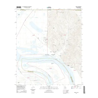
2015 Map of Angola
USGS Topo · Published 2015About this map
Tunica Hills rise sharply from the eastern bank of the Mississippi River, creating a dramatic landscape of deep hollows and ridges that dominate the northern reaches of West Feliciana Parish. This area is defined by its complex hydrography, where the river's winding course has formed the massive Tunica Bend and left behind oxbow features like Raccourci Old River and Lake Killarney. The settlement at Angola is a focal point of activity, supported by the Angola Airstrip and a network of roads including Main St and La-66. Historically significant landings like Tunica Landing, Rowes Landing, and Como Landing suggest the enduring importance of river transport. Genealogists will find several burial sites preserved across the landscape, including Saint John Cem, Rogillio Cem, and the high-elevation Point Lookout Cem.
Find a feature on this map
74 named features on this map. Tap any name to fly to it.
Don’t see what you’re looking for? This feature index may not catch every label — zoom into the map to look around manually.
Map Details
Editions of this 2015 Angola Map
This is the sole edition of this map. No revisions or reprints were ever made.
Other maps of this area

1906 · Bayou Sara
USGS Topo · 1:125,000

1936 · Woodville
USGS Topo · 1:62,500

1939 · St. Francisville
USGS Topo · 1:62,500

1939 · Artonish
USGS Topo · 1:62,500

1941 · Batchelor
USGS Topo · 1:62,500

1953 · Natchez
USGS Topo · 1:250,000

1954 · Artonish
USGS Topo · 1:62,500

1954 · Baton Rouge
USGS Topo · 1:250,000

1955 · Artonish
USGS Topo · 1:62,500

1955 · Batchelor
USGS Topo · 1:62,500