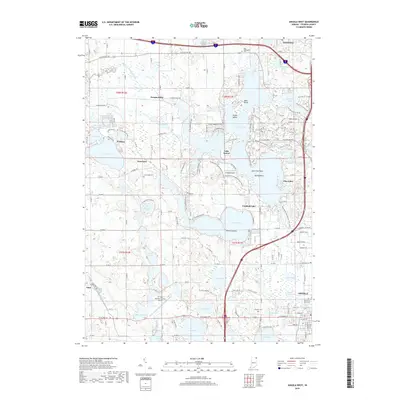
2019 Map of Angola West
USGS Topo · Published 2019About this map
The glacial lakes of Steuben County dominate this landscape, where the waters of Lake James and Crooked Lake define the geography of northern Indiana. Several small settlements and summer communities are situated among the waterways, including Nevada Mills, Jamestown, and the cluster at Point Comfort. The terrain is characterized by intricate shorelines and unique features like Deer Island and Eagle Island, alongside elevations like Hells Point. Transport networks are well-developed, ranging from regional routes like W State Rd 120 to the recreational Pokagon Trl. Local heritage is preserved in several burial grounds, notably Old Circle Hill Cem, Lake Gage Cem, and West Jamestown Cem. The presence of Tri-State Steuben County Airport and Strebig Airport indicates the modern infrastructure supporting this recreational and residential hub west of Angola.
Find a feature on this map
87 named features on this map. Tap any name to fly to it.
Don’t see what you’re looking for? This feature index may not catch every label — zoom into the map to look around manually.
Map Details
Editions of this 2019 Angola West Map
This is the sole edition of this map. No revisions or reprints were ever made.
Other maps of this area

1939 · Hamilton
USGS Topo · 1:24,000

1939 · Angola East
USGS Topo · 1:24,000

1940 · Orland
USGS Topo · 1:24,000

1941 · Orland
USGS Topo · 1:24,000

1941 · Angola West
USGS Topo · 1:24,000

1942 · Ashley
USGS Topo · 1:24,000

1942 · Angola West
USGS Topo · 1:24,000

1942 · Stroh
USGS Topo · 1:24,000

1947 · Angola East
USGS Topo · 1:24,000

1948 · Hamilton
USGS Topo · 1:24,000