1961 Map of Anna
USGS Topo · Published 1975About this map
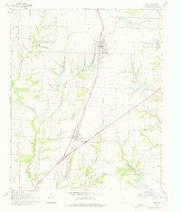
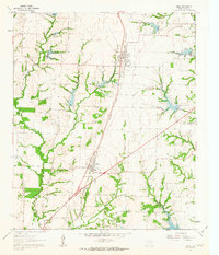
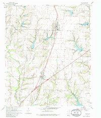
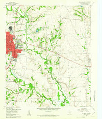
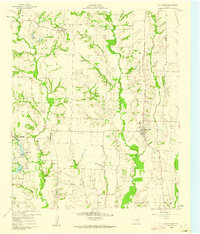
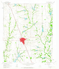
The Southern Pacific railroad corridor anchors this 1961 portrait of northern Collin County, connecting the rural centers of Anna and Melissa. The landscape is a network of small family farms and watercourses, including Throckmorton Creek and the East Fork Trinity River, where industrial activity is marked by scattered Gravel Pits and a Quarry near the eastern edge. For genealogists, the map is remarkably dense with family-named landmarks and burial grounds, such as the Brinlee Cem, Lair Cem, and Coffman Cem. Beyond the rail line, the rural infrastructure is characterized by relics like the Old Railroad Grade and the Old Telephone Road, which speak to an earlier era of transport and communication before the modern highway system fully reshaped the Texas blackland prairies.
Find a feature on this map
25 named features on this map. Tap any name to fly to it.
Don’t see what you’re looking for? This feature index may not catch every label — zoom into the map to look around manually.
Map Details
Editions of this 1961 Anna Map
3 editions found
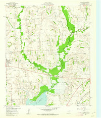
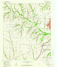
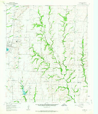
Other maps of this area

1929 · McKinney
USGS Topo · 1:62,500

1930 · Farmersville
USGS Topo · 1:62,500

1954 · Sherman
USGS Topo · 1:250,000

1958 · Sherman
USGS Topo · 1:250,000
1960 · McKinney East
USGS Topo · 1:24,000
1960 · Blue Ridge
USGS Topo · 1:24,000
1960 · Culleoka
USGS Topo · 1:24,000
1960 · McKinney West
USGS Topo · 1:24,000
1961 · Gunter
USGS Topo · 1:24,000
1961 · Van Alstyne
USGS Topo · 1:24,000