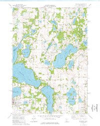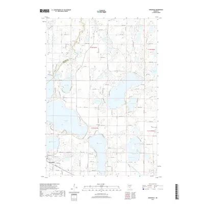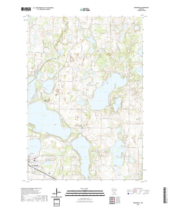
1951 Map of Annandale
USGS Topo · Published 1970About this map
The Mississippi River defines the northeastern boundary of this Central Minnesota landscape, where the Great Northern railway connects riverfront settlements like Clearwater to the broader agricultural interior. At mid-century, the region maintains a dense network of rural infrastructure, visible in the numerous numbered schoolhouses such as School No 18 and School No 151 that served the townships of Corinna, Lynden, and Maine Prairie. Local history is deeply etched into the terrain through family and community burial grounds, including Acacia Cem and Mt Hope Cem.
Find a feature on this map
100 named features on this map. Tap any name to fly to it.
Don’t see what you’re looking for? This feature index may not catch every label — zoom into the map to look around manually.
Map Details
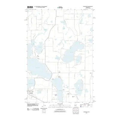
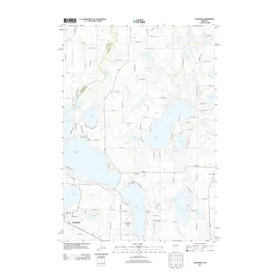
Editions of this 1951 Annandale Map
2 editions found

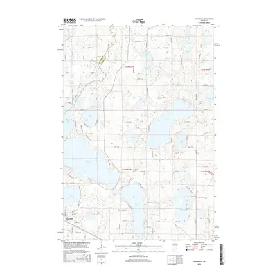
Historical Maps of St. Cloud Through Time
7 maps found