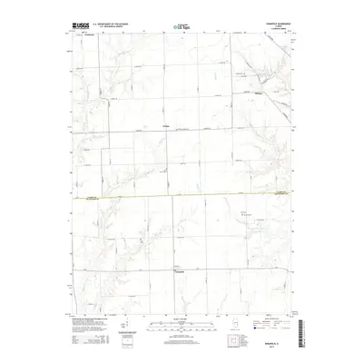
2015 Map of Annapolis
USGS Topo · Published 2015About this map
Annapolis and Melrose anchor this 2015 survey of the fertile landscape straddling the border of Clark and Crawford Counties. The terrain is defined by a dense network of meandering waterways, including Muddy Creek, Maple Creek, and several branches of Raccoon Creek that carve through the agricultural fields. Smaller settlements like Orange and Neadmore are scattered along the grid-like road network, often centered around long-standing landmarks such as Wesley Chapel Cemetery and Olive Branch Cemetery.
Find a feature on this map
58 named features on this map. Tap any name to fly to it.
Don’t see what you’re looking for? This feature index may not catch every label — zoom into the map to look around manually.
Map Details
Editions of this 2015 Annapolis Map
This is the sole edition of this map. No revisions or reprints were ever made.
Other maps of this area

1932 · Marshall
USGS Topo · 1:62,500

1936 · Casey
USGS Topo · 1:48,000

1937 · Marshall
USGS Topo · 1:62,500

1942 · Casey
USGS Topo · 1:62,500

1943 · Casey
USGS Topo · 1:62,500

1953 · Indianapolis
USGS Topo · 1:250,000

1956 · Indianapolis
USGS Topo · 1:250,000

1956 · Annapolis
USGS Topo · 1:62,500

1957 · Indianapolis
USGS Topo · 1:250,000

1957 · Hutsonville
USGS Topo · 1:62,500