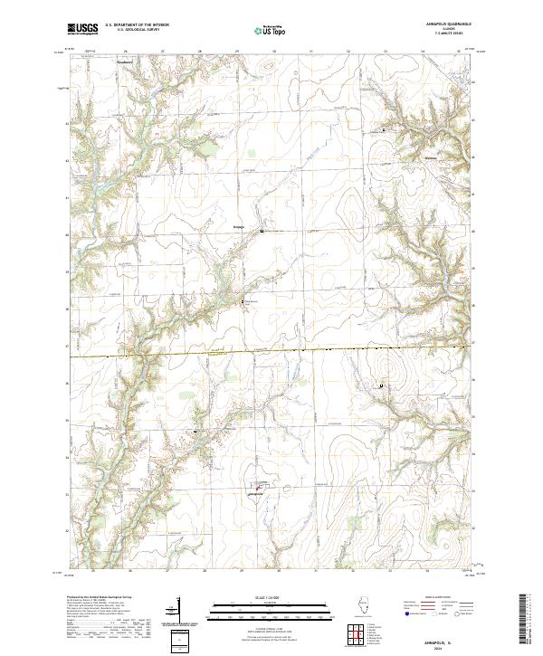
2024 Map of Annapolis
USGS Topo · Published 2024About this map
Annapolis and Melrose anchor a landscape defined by traditional section-line roads and the winding drainage networks of the Wabash River basin. This contemporary survey details the agrarian character of the Clark and Crawford county line, where small rural settlements like Orange and Neadmore serve as local hubs. The terrain is deeply incised by the North Fork and South Fork Raccoon Creek, creating complex topography that deviates from the rigid grid of county roads. These creek valleys harbor most of the area's remaining woodlands and topographic relief.
Find a feature on this map
63 named features on this map. Tap any name to fly to it.
Don’t see what you’re looking for? This feature index may not catch every label — zoom into the map to look around manually.
Map Details
Editions of this 2024 Annapolis Map
This is the sole edition of this map. No revisions or reprints were ever made.
Other maps of this area

1932 · Marshall
USGS Topo · 1:62,500

1936 · Casey
USGS Topo · 1:48,000

1937 · Marshall
USGS Topo · 1:62,500

1942 · Casey
USGS Topo · 1:62,500

1943 · Casey
USGS Topo · 1:62,500

1953 · Indianapolis
USGS Topo · 1:250,000

1956 · Indianapolis
USGS Topo · 1:250,000

1956 · Annapolis
USGS Topo · 1:62,500

1957 · Indianapolis
USGS Topo · 1:250,000

1957 · Hutsonville
USGS Topo · 1:62,500