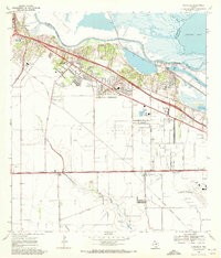
1969 Map of Annaville
USGS Topo · Published 1972About this map
The Nueces River and Nueces Bay define the northern edge of this coastal landscape, where mid-century industrial expansion meets established South Texas settlements. The corridor between Calallen and Annaville shows a transition from agricultural land to suburban and industrial development, anchored by the Lon C Hill Powerplant and the Stonewall Mall Shopping Center. To the east, the heavy industry of the Viola Channel and its refinery facilities sit adjacent to the wetlands of Tule Lake, illustrating the post-war growth of the region's shipping and petrochemical sectors.
Find a feature on this map
54 named features on this map. Tap any name to fly to it.
Don’t see what you’re looking for? This feature index may not catch every label — zoom into the map to look around manually.
Map Details
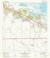
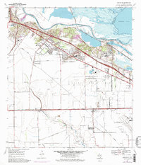
Editions of this 1969 Annaville Map
3 editions found
Other maps of this area

1924 · Petronilla
USGS Topo · 1:62,500

1925 · Robstown
USGS Topo · 1:62,500

1925 · Oso Creek
USGS Topo · 1:62,500

1925 · Corpus Christi
USGS Topo · 1:62,500

1950 · Corpus Christi
USGS Topo · 1:250,000

1951 · Corpus Christi
USGS Topo · 1:24,000

1951 · Corpus Christi
USGS Topo · 1:62,500

1951 · Oso Creek NW
USGS Topo · 1:24,000

1951 · Oso Creek
USGS Topo · 1:62,500

1954 · Robstown
USGS Topo · 1:62,500
Featured Places
- Corpus Christi, TX
- Violet, TX
- Clarkwood, Corpus Christi
- McNorton, Corpus Christi
- San Juan, Corpus Christi