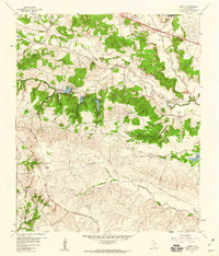
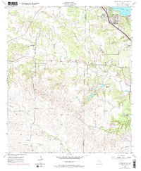
1959 Map of Anneta
USGS Topo · Published 1960About this map
Anneta serves as a central point of reference in this Parker County landscape, situated at the confluence of several small watercourses and the Texas and Pacific railroad line. The map reveals a transition from the agricultural bottomlands along the Clear Fork Trinity River to more elevated terrain featuring landmarks like Joe Bell Mtn and Chattanooga Hill. The infrastructure of the late 1950s is clearly delineated, including the prominent Veterans World War II Highway and extensive utility lines marked as Telephone Cable and Pipeline.
Find a feature on this map
40 named features on this map. Tap any name to fly to it.
Don’t see what you’re looking for? This feature index may not catch every label — zoom into the map to look around manually.
Map Details
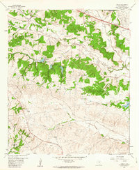
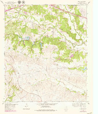
Editions of this 1959 Anneta Map
3 editions found
Other maps of this area

1891 · Weatherford
USGS Topo · 1:125,000

1893 · Weatherford
USGS Topo · 1:125,000

1924 · Weatherford 3-d
USGS Topo · 1:48,000

1931 · Dennis
USGS Topo · 1:62,500

1932 · Springtown
USGS Topo · 1:62,500

1954 · Dallas
USGS Topo · 1:250,000

1955 · Aledo
USGS Topo · 1:24,000
1955 · Cresson
USGS Topo · 1:24,000
1955 · Springtown SE
USGS Topo · 1:24,000

1958 · Dallas
USGS Topo · 1:250,000