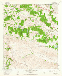
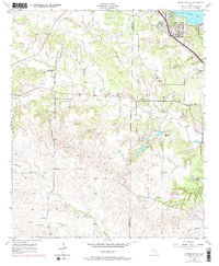
1959 Map of Anneta
USGS Topo · Published 1963About this map
The South Fork Clear Fork Trinity River carves through this Parker County landscape, where the Texas and Pacific railroad and the Veterans World War II Highway create a major east-west transportation corridor. The map captures a transition from the rolling terrain of Joe Bell Mtn and the Devils Backbone to the agricultural reaches near Center Point. Family legacies are preserved in the naming of several small burial grounds, including Dixon Cem, Hood Cem, and O'Neal Cem.
Find a feature on this map
40 named features on this map. Tap any name to fly to it.
Don’t see what you’re looking for? This feature index may not catch every label — zoom into the map to look around manually.
Map Details
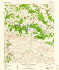
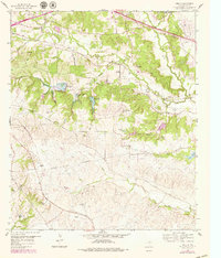
Editions of this 1959 Anneta Map
3 editions found
Other maps of this area

1891 · Weatherford
USGS Topo · 1:125,000

1893 · Weatherford
USGS Topo · 1:125,000

1924 · Weatherford 3-d
USGS Topo · 1:48,000

1931 · Dennis
USGS Topo · 1:62,500

1932 · Springtown
USGS Topo · 1:62,500

1954 · Dallas
USGS Topo · 1:250,000

1955 · Aledo
USGS Topo · 1:24,000
1955 · Cresson
USGS Topo · 1:24,000
1955 · Springtown SE
USGS Topo · 1:24,000

1958 · Dallas
USGS Topo · 1:250,000