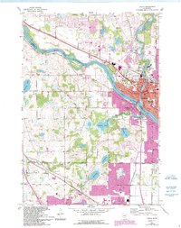
1967 Map of Anoka
USGS Topo · Published 1993About this map
The Mississippi River carves a deep arc through this landscape, defining the jurisdictional boundary between Anoka and Hennepin counties. On the eastern bank, the city of Anoka serves as a dense municipal hub, centered around the confluence where the river meets the Mill Pond. The town's early institutional history is clearly visible, from the State Hospital complex and County Fairground to a network of neighborhood schools like Franklin Sch and Lincoln Sch. Large islands such as Kings Island and Cloquet Island remain prominent in the river channel, while the interior is dotted with numerous small lakes including Diamond Lake and Hayden Lake.
Find a feature on this map
59 named features on this map. Tap any name to fly to it.
Don’t see what you’re looking for? This feature index may not catch every label — zoom into the map to look around manually.
Map Details
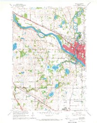
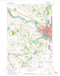
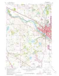
Editions of this 1967 Anoka Map
4 editions found
Other maps of this area

1902 · Anoka
USGS Topo · 1:62,500

1909 · Rockford
USGS Topo · 1:62,500

1916 · St. Francis
USGS Topo · 1:62,500

1919 · St. Francis
USGS Topo · 1:62,500

1952 · Minneapolis North
USGS Topo · 1:24,000

1953 · Stillwater
USGS Topo · 1:250,000

1955 · Osseo
USGS Topo · 1:24,000

1955 · Anoka
USGS Topo · 1:24,000

1955 · Coon Rapids
USGS Topo · 1:24,000

1955 · Anoka
USGS Topo · 1:62,500