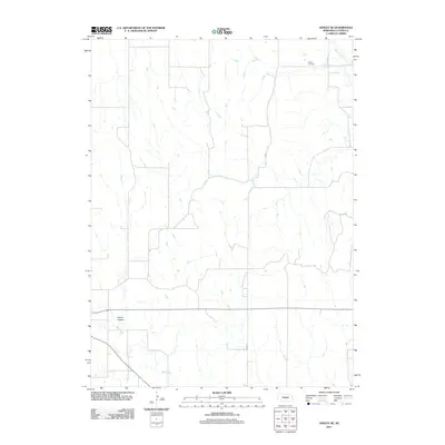
2011 Map of Ansley SE
USGS Topo · Published 2011About this map
Clear Creek and Mud Creek define the drainage patterns of this rural Custer County landscape as it appeared in the early 21st century. The terrain is notably marked by Comer Canyon in the southwest, while the northern uplands are home to Liberty Cemetery. This survey shows a sparsely populated agricultural region, where the section-line road network is anchored by a southern corridor labeled as Main St. The map provides a detailed view of the Nebraska prairie before more recent shifts in land use, preserving the locations of specific family-named landmarks and local watercourses that have historically shaped the settlement patterns of the Ansley vicinity.
Find a feature on this map
6 named features on this map. Tap any name to fly to it.
Don’t see what you’re looking for? This feature index may not catch every label — zoom into the map to look around manually.
Map Details
Editions of this 2011 Ansley SE Map
This is the sole edition of this map. No revisions or reprints were ever made.
Other maps of this area

1951 · Westerville
USGS Topo · 1:24,000

1951 · Ansley
USGS Topo · 1:24,000

1951 · Ansley NE
USGS Topo · 1:24,000

1951 · Arcadia West
USGS Topo · 1:24,000

1951 · Mason City NW
USGS Topo · 1:24,000

1951 · Mason City
USGS Topo · 1:24,000

1951 · Ansley SE
USGS Topo · 1:24,000

1951 · Arcadia SW
USGS Topo · 1:24,000

1951 · Litchfield
USGS Topo · 1:24,000

1955 · Broken Bow
USGS Topo · 1:250,000