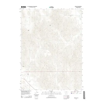
2014 Map of Ansley SE
USGS Topo · Published 2014About this map
Ansley serves as the primary anchor in this 2014 survey of central Nebraska, situated near the intersection of Ne-2 and Ne-92. The landscape is defined by its dramatic topographic variation, where the deep incisions of Ash Canyon and Comer Canyon contrast with the broad reaches of Moody Valley. These landforms dictate the local drainage patterns, feeding into waterways like Mud Cr and Clear Cr. For those researching family history in Custer County, the presence of Liberty Cem in the northeast provides a specific point of interest for genealogical study. The map illustrates a modern rural infrastructure where established highway corridors navigate the ridges and valleys of the plains, reflecting a settlement pattern deeply tied to the natural contours of the land.
Find a feature on this map
9 named features on this map. Tap any name to fly to it.
Don’t see what you’re looking for? This feature index may not catch every label — zoom into the map to look around manually.
Map Details
Editions of this 2014 Ansley SE Map
This is the sole edition of this map. No revisions or reprints were ever made.
Other maps of this area

1951 · Westerville
USGS Topo · 1:24,000

1951 · Ansley
USGS Topo · 1:24,000

1951 · Ansley NE
USGS Topo · 1:24,000

1951 · Arcadia West
USGS Topo · 1:24,000

1951 · Mason City NW
USGS Topo · 1:24,000

1951 · Mason City
USGS Topo · 1:24,000

1951 · Ansley SE
USGS Topo · 1:24,000

1951 · Arcadia SW
USGS Topo · 1:24,000

1951 · Litchfield
USGS Topo · 1:24,000

1955 · Broken Bow
USGS Topo · 1:250,000