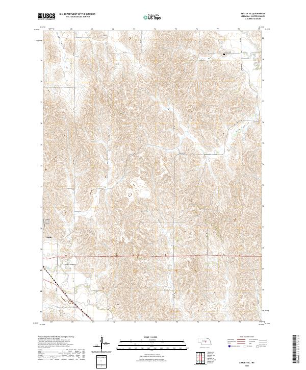
2021 Map of Ansley SE
USGS Topo · Published 2021About this map
Moody Valley and the dissected uplands of Custer County dominate this landscape, where the topography is defined by deep draws like Ash Canyon and Comer Canyon. The settlement of Ansley sits at the southwestern edge of this survey, positioned near the drainage of Mud Cr. A sparse network of rural roads, including N Mason Rd and Ash Canyon Rd, provides access to the interior rangeland and scattered homesteads across Townships 15 and 16 North.
Find a feature on this map
29 named features on this map. Tap any name to fly to it.
Don’t see what you’re looking for? This feature index may not catch every label — zoom into the map to look around manually.
Map Details
Editions of this 2021 Ansley SE Map
This is the sole edition of this map. No revisions or reprints were ever made.
Other maps of this area

1951 · Westerville
USGS Topo · 1:24,000

1951 · Ansley
USGS Topo · 1:24,000

1951 · Ansley NE
USGS Topo · 1:24,000

1951 · Arcadia West
USGS Topo · 1:24,000

1951 · Mason City NW
USGS Topo · 1:24,000

1951 · Mason City
USGS Topo · 1:24,000

1951 · Ansley SE
USGS Topo · 1:24,000

1951 · Arcadia SW
USGS Topo · 1:24,000

1951 · Litchfield
USGS Topo · 1:24,000

1955 · Broken Bow
USGS Topo · 1:250,000