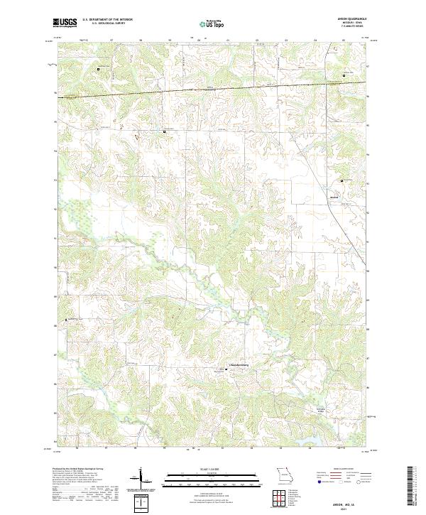
2021 Map of Anson
USGS Topo · Published 2021About this map
Anson and Chambersburg anchor this section of northern Missouri, situated just south of the border between Iowa and Missouri. The landscape is defined by the winding course of the Fox River and the Little Fox River, which are fed by a dense network of tributaries including Mantle Br, Kaylor Br, and Nixon Br. This rural terrain is notably scattered with family and community burial sites, such as Anderson Cem, Burrier Cem, and Troxel Cem, which provide significant points of interest for genealogical research in Clark and Van Buren Counties.
Find a feature on this map
29 named features on this map. Tap any name to fly to it.
Don’t see what you’re looking for? This feature index may not catch every label — zoom into the map to look around manually.
Map Details
Editions of this 2021 Anson Map
This is the sole edition of this map. No revisions or reprints were ever made.
Historical Maps of Iowa Through Time
14 maps found
1949 Kahoka SE
Clark County, MO

1949 St. Patrick
Clark County, MO

1950 Colony
Clark County, MO
1950 Kahoka SE
Clark County, MO

1950 Neeper
Clark County, MO
1950 St. Patrick
Clark County, MO

1951 Colony
Clark County, MO

1951 Neeper
Clark County, MO
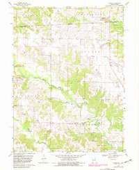
1968 Anson
Clark County, MO
2021 Anson
Clark County, MO
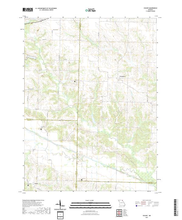
2021 Colony
Clark County, MO
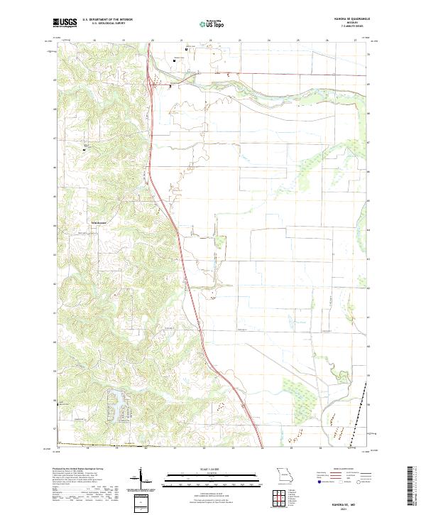
2021 Kahoka SE
Clark County, MO
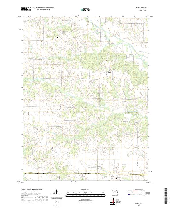
2021 Neeper
Clark County, MO
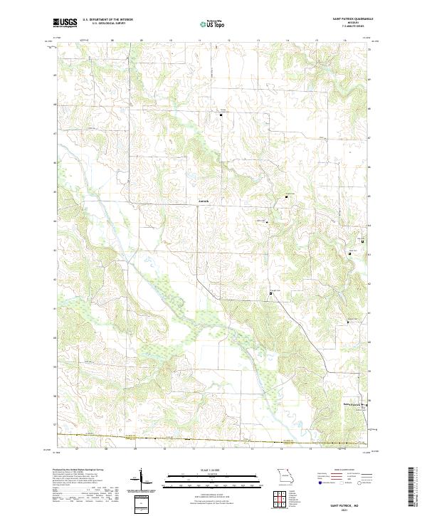
2021 Saint Patrick
Clark County, MO