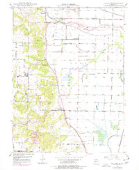
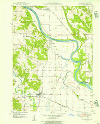
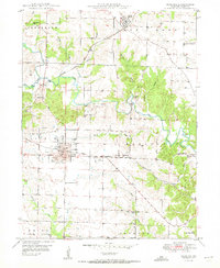
1949 Map of Kahoka SE
USGS Topo · Published 1977About this map
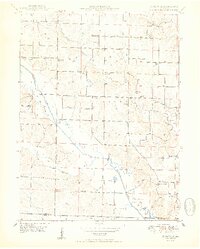
Winchester sits at the heart of this landscape, surrounded by a dense network of early rural institutions that defined northeast Missouri mid-century life. The terrain is characterized by the lowlands of Clay and the Britton Prairie Ditch, where complex levee systems and a Pumping Station manage the waters of the Fox River and its tributaries. These drainage patterns suggest a landscape heavily modified for agriculture, contrasting with the more dissected hills to the west where streams like Honey Creek and Sugar Creek have carved deeper valleys.
Find a feature on this map
27 named features on this map. Tap any name to fly to it.
Don’t see what you’re looking for? This feature index may not catch every label — zoom into the map to look around manually.
Map Details
Editions of this 1949 Kahoka SE Map
2 editions found
Other maps of this area

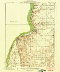
1903 · Kahoka
USGS Topo · 1:125,000
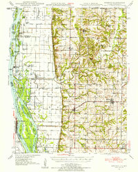
1936 · Keokuk
USGS Topo · 1:62,500
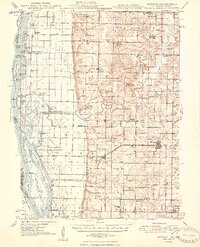
1946 · Mendon
USGS Topo · 1:62,500
1948 · Mendon
USGS Topo · 1:62,500
1949 · Wayland
USGS Topo · 1:24,000
1949 · Kahoka SE
USGS Topo · 1:24,000
1949 · Kahoka
USGS Topo · 1:24,000
1949 · St. Patrick
USGS Topo · 1:24,000
1950 · Kahoka
USGS Topo · 1:24,000
1950 · Saint Patrick
USGS Topo · 1:24,000