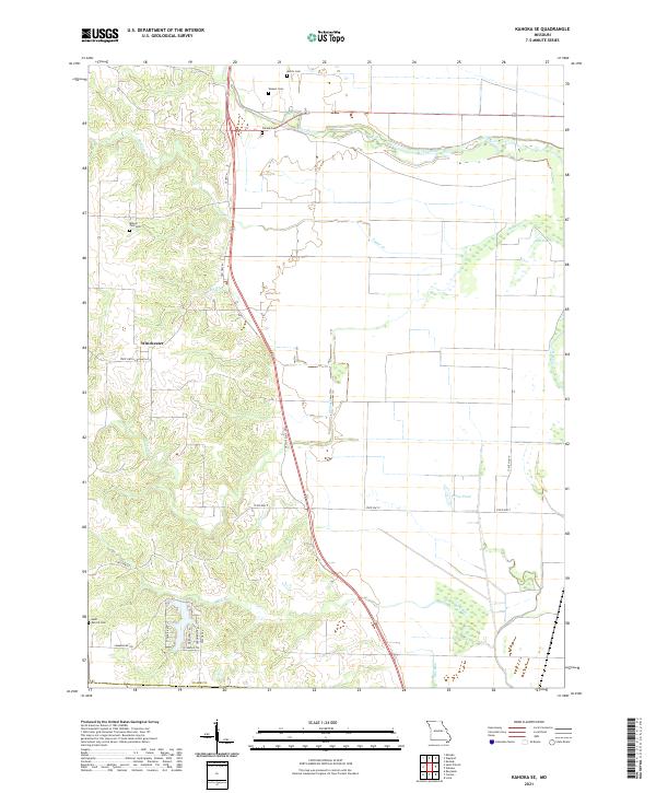
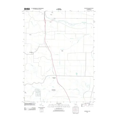
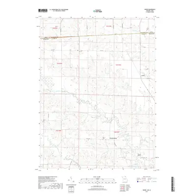
2021 Map of Kahoka SE
USGS Topo · Published 2021About this map
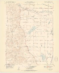
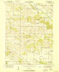
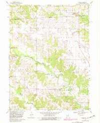
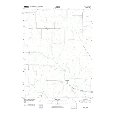
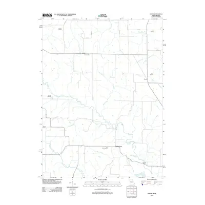
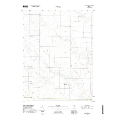
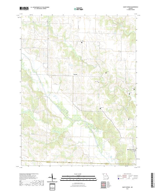
Winchester sits at the western edge of this Clark County landscape, serving as a focal point for a region defined by its winding waterways and scattered family burial grounds. The Fox River meanders across the northern reaches, joined by numerous tributaries including Sugar Cr, Honey Cr, and Buck Run. These streams cut through the terrain, creating a network of ridges and bottomlands where small community landmarks such as Mount Zion Cem, Morris Cem, and Weaver Cem are located.
Find a feature on this map
28 named features on this map. Tap any name to fly to it.
Don’t see what you’re looking for? This feature index may not catch every label — zoom into the map to look around manually.
Map Details
Editions of this 2021 Kahoka SE Map
This is the sole edition of this map. No revisions or reprints were ever made.
Historical Maps of Winchester Through Time
30 maps found
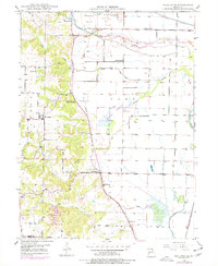
1949 Kahoka SE
Clark County, MO
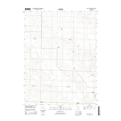
1949 St. Patrick
Clark County, MO
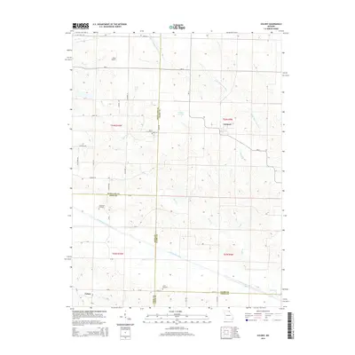
1950 Colony
Clark County, MO
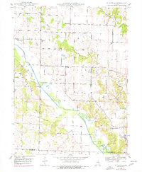
1950 Kahoka SE
Clark County, MO
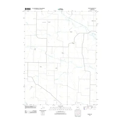
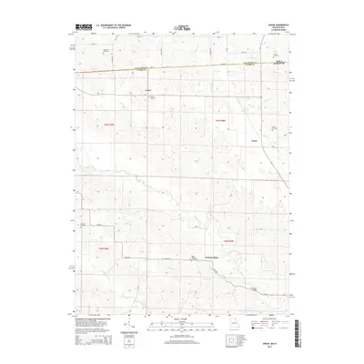
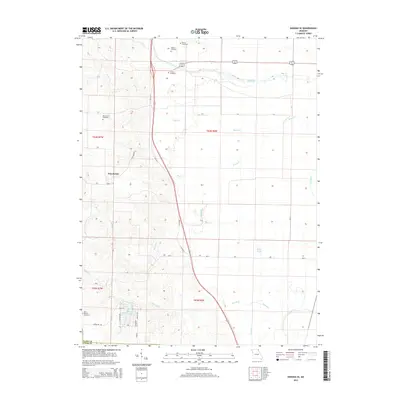
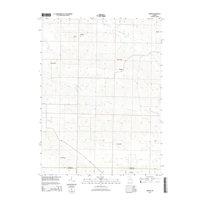
1950 Neeper
Clark County, MO
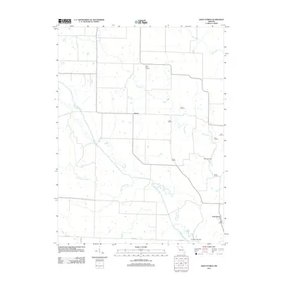
1950 St. Patrick
Clark County, MO
1951 Colony
Clark County, MO
1951 Neeper
Clark County, MO
1968 Anson
Clark County, MO
2010 Anson
Clark County, MO
2012 Anson
Clark County, MO

2012 Colony
Clark County, MO
2012 Kahoka SE
Clark County, MO
2012 Neeper
Clark County, MO
2012 Saint Patrick
Clark County, MO
2014 Anson
Clark County, MO
2014 Colony
Clark County, MO
2014 Kahoka SE
Clark County, MO
2014 Neeper
Clark County, MO
2014 Saint Patrick
Clark County, MO
2017 Anson
Clark County, MO
2017 Colony
Clark County, MO
2017 Kahoka SE
Clark County, MO
2017 Neeper
Clark County, MO
2017 Saint Patrick
Clark County, MO
2021 Anson
Clark County, MO
2021 Colony
Clark County, MO
2021 Kahoka SE
Clark County, MO
2021 Neeper
Clark County, MO
2021 Saint Patrick
Clark County, MO