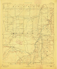
1893 Map of Anson
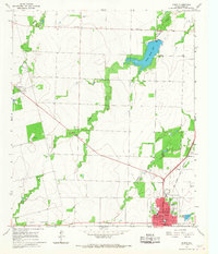
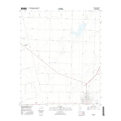
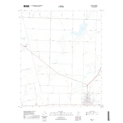
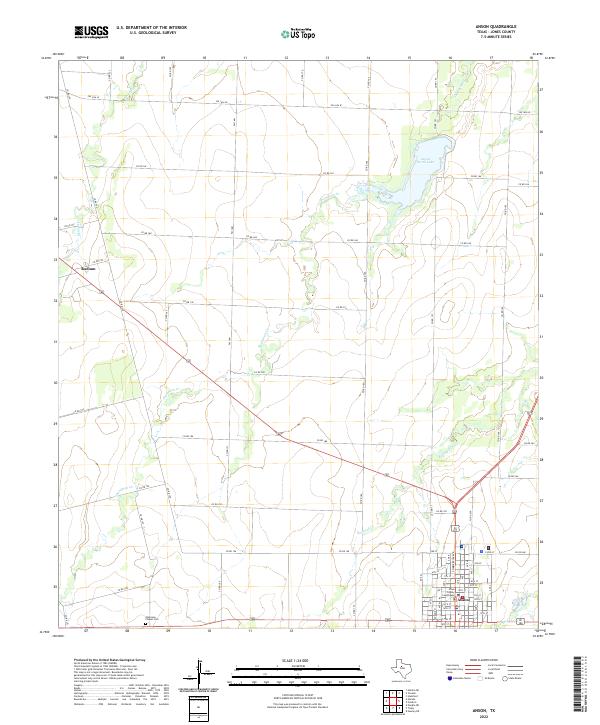
USGS Topo · Published 1915About this map
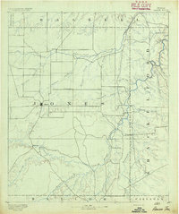
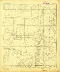
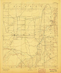
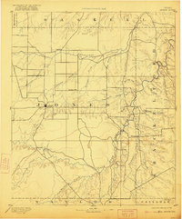
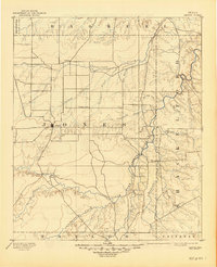
Anson stands as the central hub of this late nineteenth-century survey, surrounded by a landscape defined by the winding course of the Clear Fork of Brazos River. This 1890s reconnaissance, conducted by R.O.Gordon under the direction of Henry Gannett, captures the early settlement patterns of Jones County before the arrival of major rail lines. Small outposts and frontier communities such as Rising Sun, Sandersville, and Lenoir dot the prairie, linked by primitive roads that follow the natural drainage of California Creek and Deadman Creek. The map is particularly notable for its documentation of Phantom Hill, a site of significant frontier military importance. The topography illustrates the transition from the rolling plains toward the broken country of the Brazos, providing a clear view of the ranching and early farming landscape as it existed just after the close of the Texas frontier era.
Find a feature on this map
32 named features on this map. Tap any name to fly to it.
Don’t see what you’re looking for? This feature index may not catch every label — zoom into the map to look around manually.
Map Details
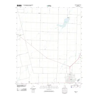
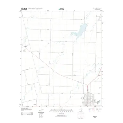
Editions of this 1893 Anson Map
5 editions found
Historical Maps of Abilene Through Time
8 maps found