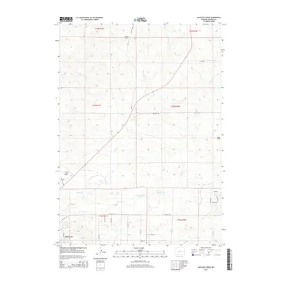
2015 Map of Antelope Creek
USGS Topo · Published 2015About this map
Douglas sits at the southwestern edge of this high plains landscape, where the urban grid gives way to a network of rural routes and historic trails. The map documents a transition from the developing aviation infrastructure at Converse County Airport to the expansive ranching and grazing lands of northern Converse County. Water management is central to the area's geography, evidenced by the Baaken Esmay Reservoir and the meandering paths of Antelope Cr and its eastern fork.
Find a feature on this map
33 named features on this map. Tap any name to fly to it.
Don’t see what you’re looking for? This feature index may not catch every label — zoom into the map to look around manually.
Map Details
Editions of this 2015 Antelope Creek Map
This is the sole edition of this map. No revisions or reprints were ever made.
Other maps of this area

1949 · Sundquist Ranch
USGS Topo · 1:24,000

1949 · Irvine
USGS Topo · 1:24,000

1949 · Douglas
USGS Topo · 1:24,000

1949 · Chalk Buttes
USGS Topo · 1:24,000

1949 · Clausen Ranch
USGS Topo · 1:24,000

1949 · Orin
USGS Topo · 1:24,000

1949 · Antelope Creek
USGS Topo · 1:24,000

1950 · Clausen Ranch
USGS Topo · 1:24,000

1950 · Douglas
USGS Topo · 1:24,000

1950 · Orin
USGS Topo · 1:24,000