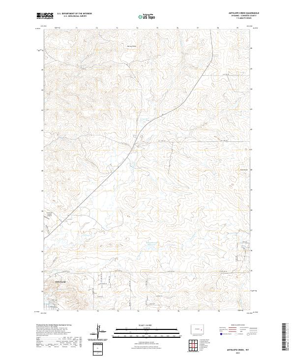
2021 Map of Antelope Creek
USGS Topo · Published 2021About this map
Douglas serves as the focal point for this section of eastern Wyoming, where the plains meet an organized network of local roads and historical pathways. The northern reaches of the city are visible, including the Converse County Airport, which sits alongside several named routes like Landfill Rd. The landscape is defined by the drainage systems of Antelope Cr and its eastern branch, E Antelope Cr, which feed into local catchments such as the Baaken Esmay Reservoir.
Find a feature on this map
33 named features on this map. Tap any name to fly to it.
Don’t see what you’re looking for? This feature index may not catch every label — zoom into the map to look around manually.
Map Details
Editions of this 2021 Antelope Creek Map
This is the sole edition of this map. No revisions or reprints were ever made.
Other maps of this area

1949 · Sundquist Ranch
USGS Topo · 1:24,000

1949 · Irvine
USGS Topo · 1:24,000

1949 · Douglas
USGS Topo · 1:24,000

1949 · Chalk Buttes
USGS Topo · 1:24,000

1949 · Clausen Ranch
USGS Topo · 1:24,000

1949 · Orin
USGS Topo · 1:24,000

1949 · Antelope Creek
USGS Topo · 1:24,000

1950 · Clausen Ranch
USGS Topo · 1:24,000

1950 · Douglas
USGS Topo · 1:24,000

1950 · Orin
USGS Topo · 1:24,000