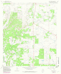
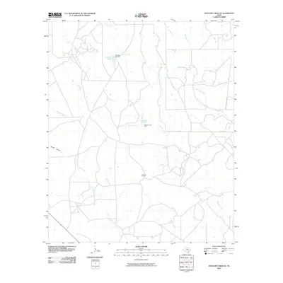
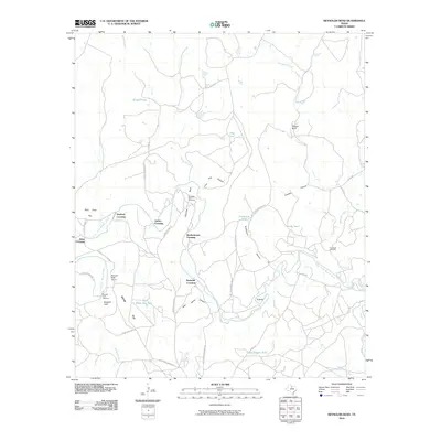
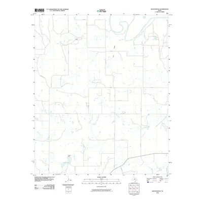
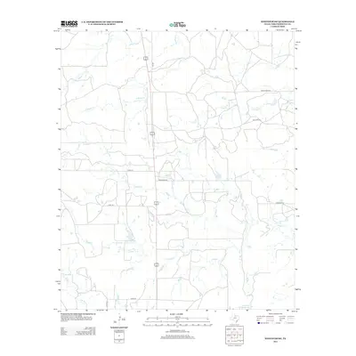
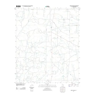
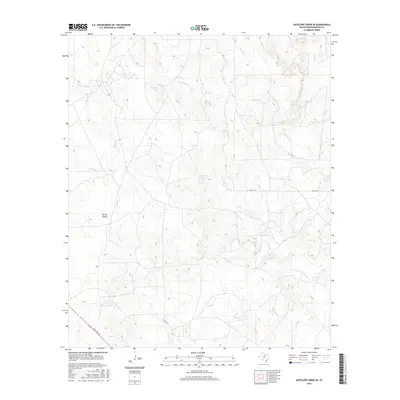
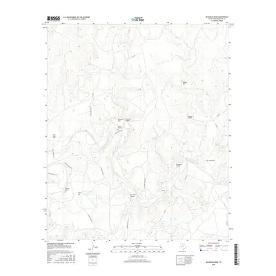
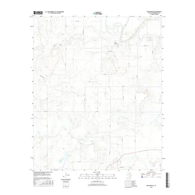
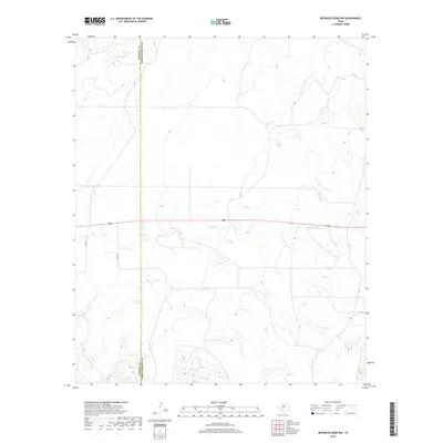
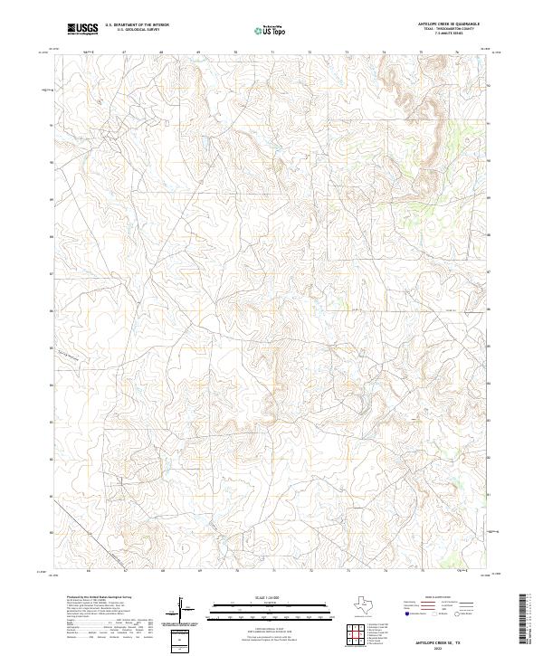
1962 Map of Antelope Creek SE
USGS Topo · Published 1982About this map
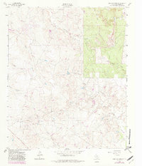
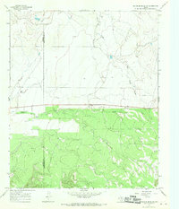
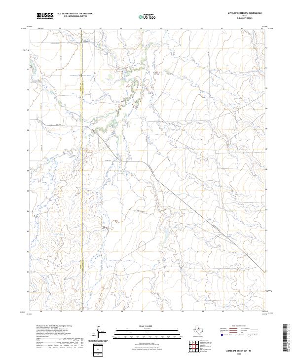
Antelope Creek and its many tributaries carve through this Throckmorton County landscape, defining a terrain of draws and flats that supported early ranching and energy exploration. By the early 1960s, the area remained largely undeveloped, characterized by a complex network of seasonal watercourses like Wolf Creek, Sulphur Creek, and the prominent Rock Flat area. The presence of numerous Oil Wells and a Drill Hole alongside a modern Pipeline and a remote Landing Strip illustrates the mid-century transition toward industrial resource extraction in rural Texas. Local geography is further detailed by features such as Spring Hollow and Swenson Creek, providing a clear record of the watershed before later modifications or environmental changes occurred.
Find a feature on this map
16 named features on this map. Tap any name to fly to it.
Don’t see what you’re looking for? This feature index may not catch every label — zoom into the map to look around manually.
Map Details
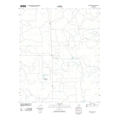
Editions of this 1962 Antelope Creek SE Map
3 editions found
Historical Maps of Throckmorton County Through Time
60 maps found
1962 Antelope Creek SE
Throckmorton County, TX
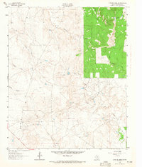
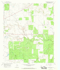
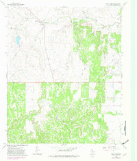
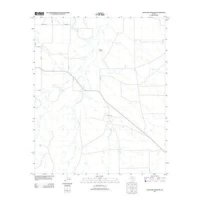
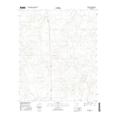
1962 Antelope Creek SW
Throckmorton County, TX
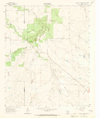
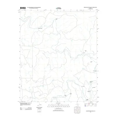
1965 Reynolds Bend NW
Throckmorton County, TX
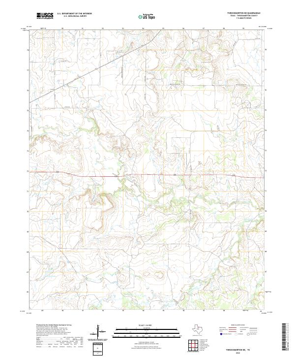
1965 Throckmorton NE
Throckmorton County, TX
1966 Hoover Mountain
Throckmorton County, TX
1966 Reynolds Bend
Throckmorton County, TX
1966 Sibley Creek
Throckmorton County, TX
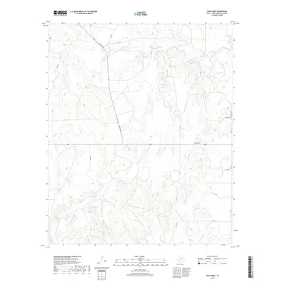
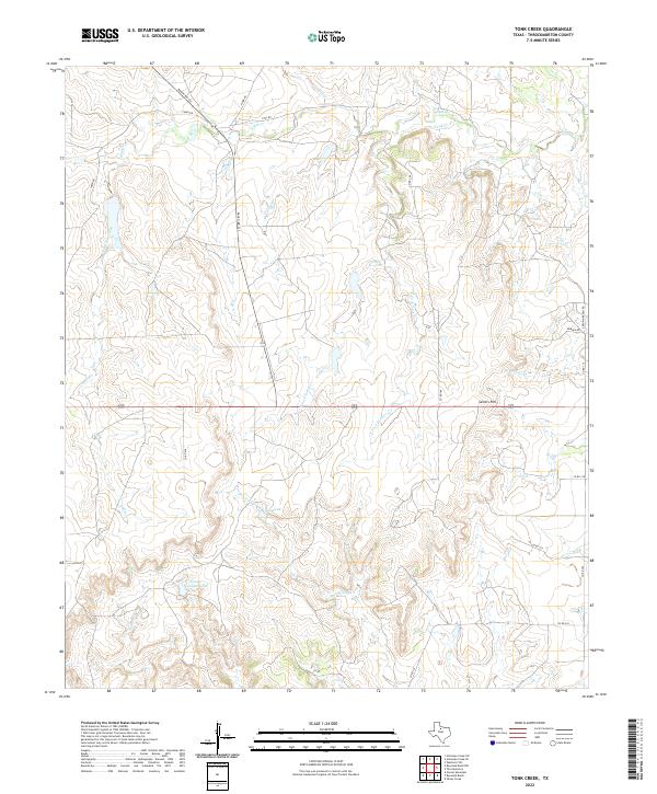
1966 Tonk Creek
Throckmorton County, TX
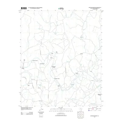
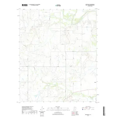
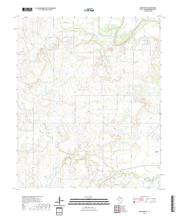
1966 Westover SE
Throckmorton County, TX
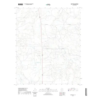
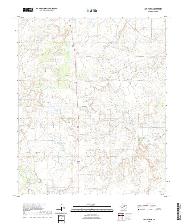
1966 Westover SW
Throckmorton County, TX
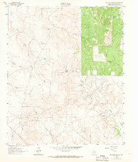
2010 Antelope Creek SE
Throckmorton County, TX
2010 Antelope Creek SW
Throckmorton County, TX
2010 Hoover Mountain
Throckmorton County, TX
2010 Reynolds Bend NW
Throckmorton County, TX
2010 Reynolds Bend
Throckmorton County, TX
2010 Sibley Creek
Throckmorton County, TX
2010 Throckmorton NE
Throckmorton County, TX
2010 Tonk Creek
Throckmorton County, TX
2010 Westover SE
Throckmorton County, TX
2010 Westover SW
Throckmorton County, TX
2012 Antelope Creek SE
Throckmorton County, TX
2012 Reynolds Bend NW
Throckmorton County, TX
2012 Westover SW
Throckmorton County, TX
2013 Antelope Creek SW
Throckmorton County, TX
2013 Hoover Mountain
Throckmorton County, TX
2013 Reynolds Bend
Throckmorton County, TX
2013 Sibley Creek
Throckmorton County, TX
2013 Throckmorton NE
Throckmorton County, TX
2013 Tonk Creek
Throckmorton County, TX
2013 Westover SE
Throckmorton County, TX
2016 Antelope Creek SE
Throckmorton County, TX
2016 Antelope Creek SW
Throckmorton County, TX
2016 Hoover Mountain
Throckmorton County, TX
2016 Reynolds Bend NW
Throckmorton County, TX
2016 Reynolds Bend
Throckmorton County, TX
2016 Sibley Creek
Throckmorton County, TX
2016 Throckmorton NE
Throckmorton County, TX
2016 Tonk Creek
Throckmorton County, TX
2016 Westover SE
Throckmorton County, TX
2016 Westover SW
Throckmorton County, TX
2019 Antelope Creek SE
Throckmorton County, TX

2019 Antelope Creek SW
Throckmorton County, TX
2019 Hoover Mountain
Throckmorton County, TX
2019 Reynolds Bend NW
Throckmorton County, TX
2019 Reynolds Bend
Throckmorton County, TX
2019 Sibley Creek
Throckmorton County, TX
2019 Throckmorton NE
Throckmorton County, TX
2019 Tonk Creek
Throckmorton County, TX
2019 Westover SE
Throckmorton County, TX
2019 Westover SW
Throckmorton County, TX
2022 Antelope Creek SE
Throckmorton County, TX
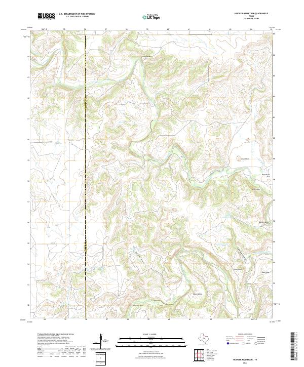
2022 Hoover Mountain
Throckmorton County, TX
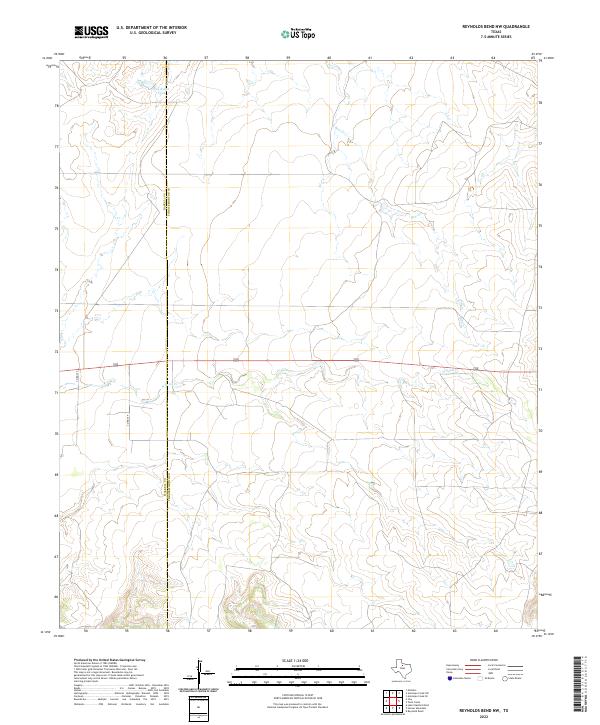
2022 Reynolds Bend NW
Throckmorton County, TX
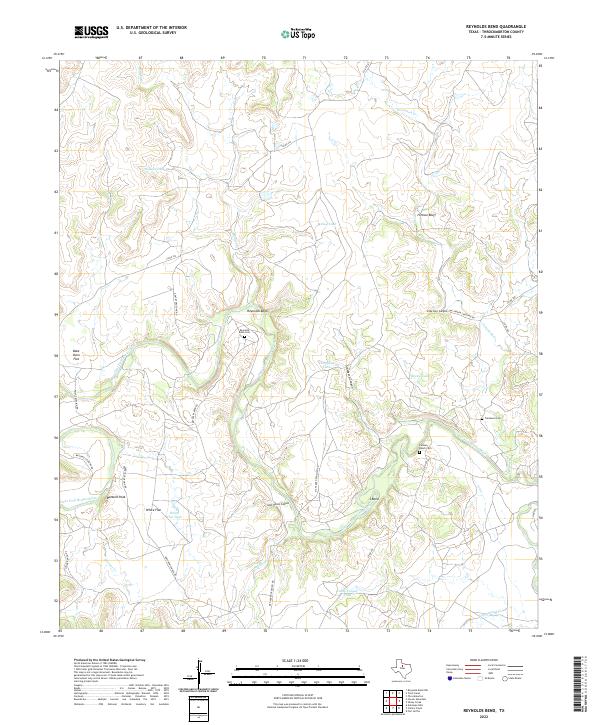
2022 Reynolds Bend
Throckmorton County, TX
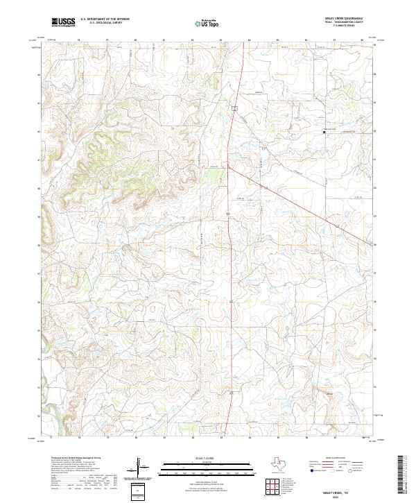
2022 Sibley Creek
Throckmorton County, TX
2022 Throckmorton NE
Throckmorton County, TX
2022 Tonk Creek
Throckmorton County, TX
2022 Westover SE
Throckmorton County, TX
2022 Westover SW
Throckmorton County, TX
2023 Antelope Creek SW
Throckmorton County, TX