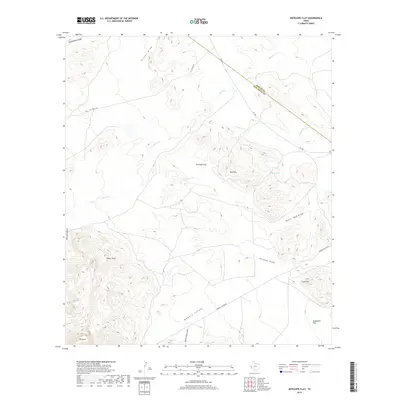
2019 Map of Antelope Flat
USGS Topo · Published 2019About this map
Madera Springs Lodge sits at the base of the Davis Mountains, marking a hub of activity in this arid landscape where West Texas rangeland meets significant topographical elevations. The terrain is defined by dramatic transitions from broad plains like Antelope Flat and Augustine Flat to the sharp heights of Kaiser Peak and Mt Annie. A network of dry watercourses, including Wildcat Draw and Moore Tank Draw, illustrates the drainage patterns of the Trans-Pecos region, while Eagle Tank serves as a critical point of water management for local ranching. The boundary between Reeves and Jeff Davis counties cuts across the northeastern sector, crossing over Cherry Cr and the Red Hills. Transportation through this isolated country relies on routes like FM 3078 and Madera Canyon Rd, which navigate the deep cuts of Madera Canyon and Cherry Canyon.
Find a feature on this map
20 named features on this map. Tap any name to fly to it.
Don’t see what you’re looking for? This feature index may not catch every label — zoom into the map to look around manually.
Map Details
Editions of this 2019 Antelope Flat Map
This is the sole edition of this map. No revisions or reprints were ever made.
Other maps of this area

1894 · Valentine
USGS Topo · 1:125,000

1894 · Fort Davis
USGS Topo · 1:125,000

1897 · Valentine
USGS Topo · 1:125,000

1897 · Fort Davis
USGS Topo · 1:125,000

1921 · Toyah
USGS Topo · 1:125,000

1928 · Kent
USGS Topo · 1:125,000

1943 · Valentine
USGS Topo · 1:125,000

1954 · Van Horn
USGS Topo · 1:250,000

1954 · Pecos
USGS Topo · 1:250,000

1954 · Fort Stockton
USGS Topo · 1:250,000