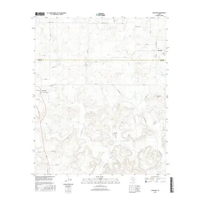
2016 Map of Antelope
USGS Topo · Published 2016About this map
Antelope sits at the intersection of local history and the North Texas landscape, where the Clay Co Jack Co line divides the northern and southern halves of this survey. The drainage network is a defining characteristic of the area, centered on the W Fork Trinity River and its various tributaries including Lodge Cr, Willow Cr, and Cameron Cr. Higher elevations are marked by prominent features like Backbone Mtn and Mt Lebo, which rise above the surrounding creeks and ranch lands. Genealogists will find particular value in the documentation of the Shannon Cem near the community of Shannon in the northeast, and the Antelope Cem located just outside the main settlement. The map also traces established rural routes such as Schoolhouse Rd and China Ridge Rd, providing a clear view of the modern infrastructure and historic land divisions in this part of Jack County.
Find a feature on this map
39 named features on this map. Tap any name to fly to it.
Don’t see what you’re looking for? This feature index may not catch every label — zoom into the map to look around manually.
Map Details
Editions of this 2016 Antelope Map
This is the sole edition of this map. No revisions or reprints were ever made.
Other maps of this area

1954 · Wichita Falls
USGS Topo · 1:250,000

1958 · Wichita Falls
USGS Topo · 1:250,000

1962 · Windthorst
USGS Topo · 1:24,000

1962 · Antelope Creek NE
USGS Topo · 1:24,000

1964 · Johnson Lake
USGS Topo · 1:24,000

1964 · Darnell Branch
USGS Topo · 1:24,000

1964 · Lynn Creek
USGS Topo · 1:24,000

1964 · Antelope
USGS Topo · 1:24,000

1964 · Scotland SE
USGS Topo · 1:24,000
1964 · Postoak
USGS Topo · 1:24,000