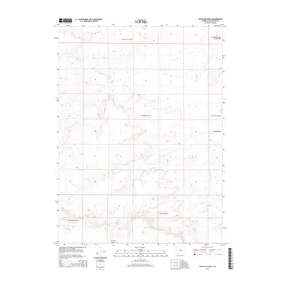
2015 Map of Antelope Knoll
USGS Topo · Published 2015About this map
Antelope Knoll serves as the primary landmark in this high-altitude landscape of southwestern Wyoming. The terrain is defined by a series of intermittent watercourses and seasonal drainages, which provide critical water sources in a largely arid environment. Notable among these are Chicken Spring and its associated Chicken Draw, as well as Little Dry Cr in the southern reaches of the quadrangle. The map captures the area as it appeared in the mid-2010s, illustrating the complex grid of the Public Land Survey System that divides the open rangeland into townships like t17n r111w. In the northeastern corner, Meadow Springs Wash further highlights the delicate network of natural drainage that has historically dictated land use and ranching potential in Sweetwater County.
Find a feature on this map
11 named features on this map. Tap any name to fly to it.
Don’t see what you’re looking for? This feature index may not catch every label — zoom into the map to look around manually.
Map Details
Editions of this 2015 Antelope Knoll Map
This is the sole edition of this map. No revisions or reprints were ever made.
Other maps of this area

1954 · Ogden
USGS Topo · 1:250,000

1954 · Rock Springs
USGS Topo · 1:250,000

1958 · Ogden
USGS Topo · 1:250,000

1958 · Rock Springs
USGS Topo · 1:250,000

1960 · Ogden
USGS Topo · 1:250,000

1961 · Little America
USGS Topo · 1:24,000

1961 · Granger
USGS Topo · 1:24,000

1962 · Rock Springs
USGS Topo · 1:250,000

1964 · Butcher Knife Draw
USGS Topo · 1:24,000

1964 · Antelope Knoll NE
USGS Topo · 1:24,000