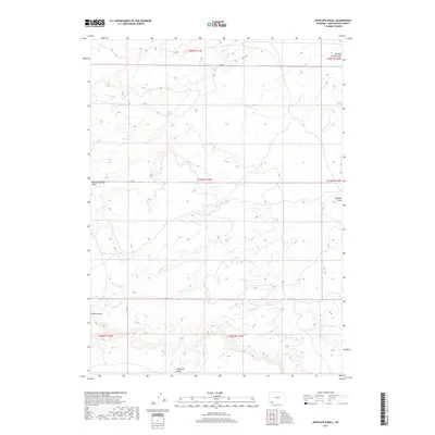
2017 Map of Antelope Knoll
USGS Topo · Published 2017About this map
Antelope Knoll rises above the high desert floor in this 2017 survey of Sweetwater County, Wyoming. The terrain is defined by a network of drainage systems, most notably Meadow Springs Wash and the ephemeral Chicken Draw, which intersect the expansive landscape. These features underscore the region's arid character, where water sources like Chicken Spring were essential for early navigation and land use. Small intermittent waterways like Little Dry Cr trace the depressions between rolling high-altitude elevations.
Find a feature on this map
11 named features on this map. Tap any name to fly to it.
Don’t see what you’re looking for? This feature index may not catch every label — zoom into the map to look around manually.
Map Details
Editions of this 2017 Antelope Knoll Map
This is the sole edition of this map. No revisions or reprints were ever made.
Other maps of this area

1954 · Ogden
USGS Topo · 1:250,000

1954 · Rock Springs
USGS Topo · 1:250,000

1958 · Ogden
USGS Topo · 1:250,000

1958 · Rock Springs
USGS Topo · 1:250,000

1960 · Ogden
USGS Topo · 1:250,000

1961 · Little America
USGS Topo · 1:24,000

1961 · Granger
USGS Topo · 1:24,000

1962 · Rock Springs
USGS Topo · 1:250,000

1964 · Butcher Knife Draw
USGS Topo · 1:24,000

1964 · Antelope Knoll NE
USGS Topo · 1:24,000