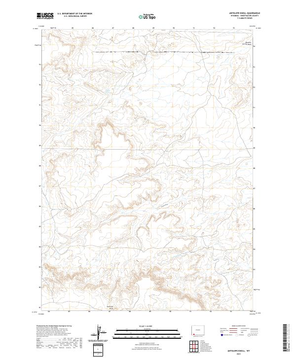
2021 Map of Antelope Knoll
USGS Topo · Published 2021About this map
Antelope Knoll rises above the high desert floor in this 2021 USGS study of Sweetwater County. The terrain is defined by a series of drainages and intermittent water sources that have long shaped the navigation of this arid landscape. Named landmarks like Chicken Draw and Little Dry Cr suggest the precarious nature of water here, while the presence of Chicken Spring and Meadow Springs Wash identify the specific points where moisture reaches the surface. This survey captures the precise township and range boundaries of the Public Land Survey System, including t17n r111w and t18n r110w, which provide essential spatial context for modern land management and historical research in this corner of Wyoming.
Find a feature on this map
11 named features on this map. Tap any name to fly to it.
Don’t see what you’re looking for? This feature index may not catch every label — zoom into the map to look around manually.
Map Details
Editions of this 2021 Antelope Knoll Map
This is the sole edition of this map. No revisions or reprints were ever made.
Other maps of this area

1954 · Ogden
USGS Topo · 1:250,000

1954 · Rock Springs
USGS Topo · 1:250,000

1958 · Ogden
USGS Topo · 1:250,000

1958 · Rock Springs
USGS Topo · 1:250,000

1960 · Ogden
USGS Topo · 1:250,000

1961 · Little America
USGS Topo · 1:24,000

1961 · Granger
USGS Topo · 1:24,000

1962 · Rock Springs
USGS Topo · 1:250,000

1964 · Butcher Knife Draw
USGS Topo · 1:24,000

1964 · Antelope Knoll NE
USGS Topo · 1:24,000