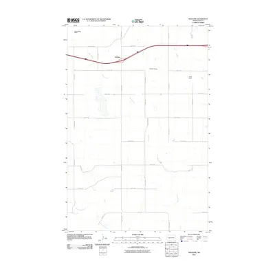
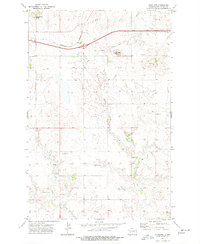
2011 Map of Antelope
USGS Topo · Published 2011About this map
Antelope stands as a focal point in this Stark County landscape, situated along a prominent transportation corridor where the interstate and County Rd-139 intersect the prairie terrain. The map captures a high-plains environment defined by distinct topographical markers, notably Young Mans Butte in the northwest and Long Butte to the east. These elevations, along with Custer Lookout, served as essential landmarks for navigation across the open grasslands of North Dakota. Drainage patterns are clearly delineated by the winding paths of Spring Creek, which traverses the central portion of the quadrangle, and Government Creek in the southwest. The grid of section roads, including 83rd Ave SW and 40th St SW, reveals the enduring structure of rural land division and property access that has characterized this agricultural region for generations.
Find a feature on this map
24 named features on this map. Tap any name to fly to it.
Don’t see what you’re looking for? This feature index may not catch every label — zoom into the map to look around manually.
Map Details
Editions of this 2011 Antelope Map
This is the sole edition of this map. No revisions or reprints were ever made.
Other maps of this area

1953 · Dickinson
USGS Topo · 1:250,000

1957 · Dickinson
USGS Topo · 1:250,000

1960 · Clark Butte NW
USGS Topo · 1:24,000

1960 · Clark Butte NE
USGS Topo · 1:24,000

1960 · White Butte NE
USGS Topo · 1:24,000
1973 · Hebron SE
USGS Topo · 1:24,000
1973 · Hebron
USGS Topo · 1:24,000

1973 · Richardton SE
USGS Topo · 1:24,000
1973 · Richardton
USGS Topo · 1:24,000
1973 · Antelope
USGS Topo · 1:24,000