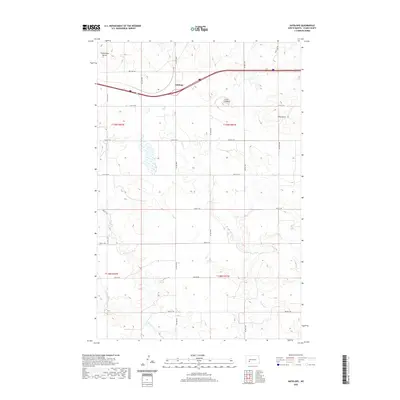
2020 Map of Antelope
USGS Topo · Published 2020About this map
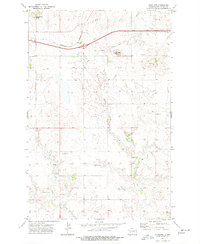
Young Mans Butte and Custer Lookout rise above the high plains of Stark County in this modern survey of the Western North Dakota landscape. The small settlement of Antelope is positioned along a corridor defined by modern transportation, where the land transitions into a series of drainage basins for Spring Cr and Government Cr. This area is characterized by the Public Land Survey System grid, which shapes the rural road network including 38th Ave SW and 45th St SW. The terrain is marked by distinctive geological formations like Long Butte, which have served as local landmarks for generations. The map provides a clear view of the township and range divisions, such as t139n r92w, revealing the organized agricultural and ranching parcels that define the region's contemporary character.
Find a feature on this map
24 named features on this map. Tap any name to fly to it.
Don’t see what you’re looking for? This feature index may not catch every label — zoom into the map to look around manually.
Map Details
Editions of this 2020 Antelope Map
This is the sole edition of this map. No revisions or reprints were ever made.
Other maps of this area

1953 · Dickinson
USGS Topo · 1:250,000

1957 · Dickinson
USGS Topo · 1:250,000

1960 · Clark Butte NW
USGS Topo · 1:24,000

1960 · Clark Butte NE
USGS Topo · 1:24,000

1960 · White Butte NE
USGS Topo · 1:24,000
1973 · Hebron SE
USGS Topo · 1:24,000
1973 · Hebron
USGS Topo · 1:24,000

1973 · Richardton SE
USGS Topo · 1:24,000
1973 · Richardton
USGS Topo · 1:24,000
1973 · Antelope
USGS Topo · 1:24,000