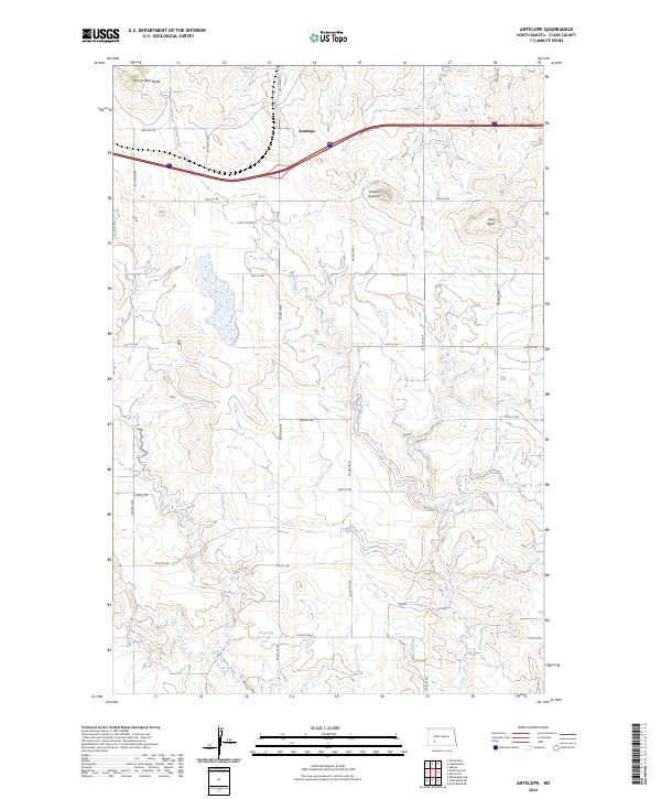
2024 Map of Antelope
USGS Topo · Published 2024About this map
Antelope sits at the heart of this Stark County landscape, positioned along the high ground where the north-south section lines of the Public Land Survey System meet the modern interstate corridor. The terrain is defined by prominent high points such as Young Mans Butte in the northwest and Long Butte to the east, while Custer Lookout provides a commanding view of the surrounding drainage basins. These elevations separate the headwaters of local waterways, including the winding course of Spring Creek and the southern flow of Government Creek. The map reveals a highly structured rural grid, with an extensive network of numbered roads like 82nd Ave SW and 40th St SW that delineate the agricultural parcels and grazing lands characteristic of the North Dakota prairie.
Find a feature on this map
24 named features on this map. Tap any name to fly to it.
Don’t see what you’re looking for? This feature index may not catch every label — zoom into the map to look around manually.
Map Details
Editions of this 2024 Antelope Map
This is the sole edition of this map. No revisions or reprints were ever made.
Other maps of this area

1953 · Dickinson
USGS Topo · 1:250,000

1957 · Dickinson
USGS Topo · 1:250,000

1960 · Clark Butte NW
USGS Topo · 1:24,000

1960 · Clark Butte NE
USGS Topo · 1:24,000

1960 · White Butte NE
USGS Topo · 1:24,000
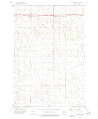
1973 · Hebron SE
USGS Topo · 1:24,000
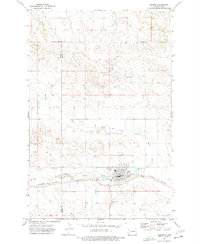
1973 · Hebron
USGS Topo · 1:24,000

1973 · Richardton SE
USGS Topo · 1:24,000
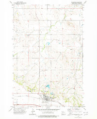
1973 · Richardton
USGS Topo · 1:24,000
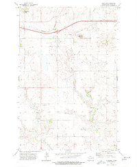
1973 · Antelope
USGS Topo · 1:24,000