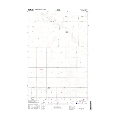
2016 Map of Anthony
USGS Topo · Published 2016About this map
The Marsh River winds through the rural landscape of Norman County, defining the agricultural character of this region. The small settlement of Anthony serves as a local focal point, surrounded by a grid of section roads like Co Rd 147 and 230th Ave. Significant for genealogists and local historians, the area is home to several distinct burial grounds, including the Anthony Cem, East Marsh River Cem, and the West Petri- East Marsh River Cem, reflecting the early community's roots. Further south, the Concordia Menighed Cem sits near the 180th Avenue crossing. The land is marked by an extensive drainage network, most notably the State Ditch Number Sixty-eight, which alongside the river's natural course, underscores the historical efforts to manage these fertile lowlands for farming.
Find a feature on this map
32 named features on this map. Tap any name to fly to it.
Don’t see what you’re looking for? This feature index may not catch every label — zoom into the map to look around manually.
Map Details
Editions of this 2016 Anthony Map
This is the sole edition of this map. No revisions or reprints were ever made.
Other maps of this area

1918 · Hendrum
USGS Topo · 1:62,500

1924 · Ada
USGS Topo · 1:62,500

1952 · Grand Forks
USGS Topo · 1:250,000

1956 · Grand Forks
USGS Topo · 1:250,000

1963 · Shelly
USGS Topo · 1:24,000

1963 · Perley
USGS Topo · 1:24,000

1963 · Halstad
USGS Topo · 1:24,000

1965 · Lockhart
USGS Topo · 1:24,000

1965 · Anthony
USGS Topo · 1:24,000
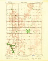
1965 · Ada NW
USGS Topo · 1:24,000