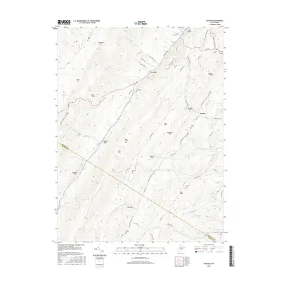
2016 Map of Antioch
USGS Topo · Published 2016About this map
New Creek and the settlement of Antioch anchor this landscape along the eastern edge of the Allegheny Front. The terrain is defined by the sharp parallel ridges of New Creek Mtn and Knobly Mountain, where travelers have long navigated through gaps like Grayson Gap and Dolls Gap. This modern survey records a deep network of rural infrastructure, from the winding Us Rte 50 to the American Discovery Trail, which threads through Hamricks Gap and past the remote Mikes Run. Local history is preserved in numerous family burial grounds scattered across the hollows, including the Ward Cem near Claysville and the Ferree Cem tucked behind Tucker Ridge. The map also identifies significant water sources such as Mineral County Spring and Elk Garden Spring, which historically supported the valley's agrarian development.
Find a feature on this map
87 named features on this map. Tap any name to fly to it.
Don’t see what you’re looking for? This feature index may not catch every label — zoom into the map to look around manually.
Map Details
Editions of this 2016 Antioch Map
This is the sole edition of this map. No revisions or reprints were ever made.
Other maps of this area

1891 · Romney
USGS Topo · 1:125,000

1895 · Piedmont
USGS Topo · 1:125,000

1919 · Elk Garden
USGS Topo · 1:48,000

1920 · Elk Garden
USGS Topo · 1:48,000

1920 · Moorefield
USGS Topo · 1:62,500

1920 · Keyser
USGS Topo · 1:62,500

1921 · Keyser
USGS Topo · 1:48,000

1921 · Greenland Gap
USGS Topo · 1:62,500

1921 · Moorefield
USGS Topo · 1:48,000

1922 · Elk Garden
USGS Topo · 1:62,500