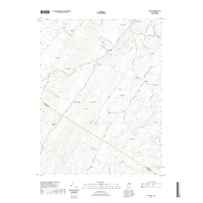
2019 Map of Antioch
USGS Topo · Published 2019About this map
Allegheny Front and New Creek Mountain dominate the topography of this section of West Virginia, where the border between Mineral County and Grant County follows the high ridges. Small settlements like Laurel Dale and Antioch are established in the lowlands, connected by historic routes such as US Route 50 and Knobley Road. The landscape is dotted with numerous family and community burial grounds, including Knobley Cemetery and Thrush Cemetery, which provide significant points of interest for genealogical research. Natural springs, such as Miller Farm Spring and Lemons Spring, define the water sources of these mountain valleys, while prominent gaps like Dolls Gap and Hamricks Gap mark the traditional passage points through the steep terrain. The presence of the American Discovery Trail highlights the modern use of these older surveying corridors.
Find a feature on this map
85 named features on this map. Tap any name to fly to it.
Don’t see what you’re looking for? This feature index may not catch every label — zoom into the map to look around manually.
Map Details
Editions of this 2019 Antioch Map
This is the sole edition of this map. No revisions or reprints were ever made.
Other maps of this area

1891 · Romney
USGS Topo · 1:125,000

1895 · Piedmont
USGS Topo · 1:125,000

1919 · Elk Garden
USGS Topo · 1:48,000

1920 · Elk Garden
USGS Topo · 1:48,000

1920 · Moorefield
USGS Topo · 1:62,500

1920 · Keyser
USGS Topo · 1:62,500

1921 · Keyser
USGS Topo · 1:48,000

1921 · Greenland Gap
USGS Topo · 1:62,500

1921 · Moorefield
USGS Topo · 1:48,000

1922 · Elk Garden
USGS Topo · 1:62,500