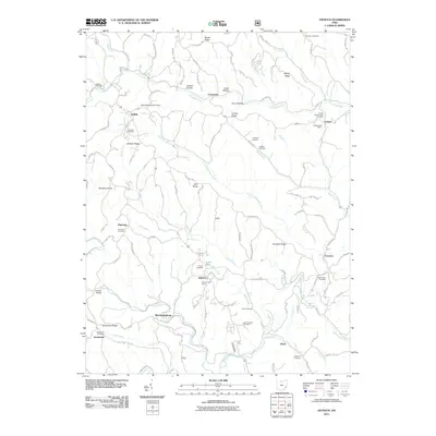
2011 Map of Antioch
USGS Topo · Published 2011About this map
The Little Muskingum River carves a winding path through this corner of Monroe County, anchoring a landscape defined by sharp ridges and deep hollows. Small agricultural settlements like Antioch and Laings serve as local hubs, each preserving its own identity through community landmarks like the Antioch Post Office and Lainges Post Office. The area is notably dense with family and denominational burial grounds, including the Moffett Methodist Cemetery and the Laings Presbyterian Cemetery, which offer significant touchpoints for genealogical research.
Find a feature on this map
80 named features on this map. Tap any name to fly to it.
Don’t see what you’re looking for? This feature index may not catch every label — zoom into the map to look around manually.
Map Details
Editions of this 2011 Antioch Map
This is the sole edition of this map. No revisions or reprints were ever made.
Other maps of this area

1905 · Clarington
USGS Topo · 1:62,500

1905 · New Matamoras
USGS Topo · 1:62,500

1905 · Woodsfield
USGS Topo · 1:62,500

1906 · New Martinsville
USGS Topo · 1:62,500

1924 · New Martinsville
USGS Topo · 1:62,500

1924 · New Matamoras
USGS Topo · 1:62,500

1926 · New Martinsville
USGS Topo · 1:62,500

1926 · New Matamoras
USGS Topo · 1:62,500

1935 · Clarington
USGS Topo · 1:62,500

1940 · Clarington
USGS Topo · 1:62,500