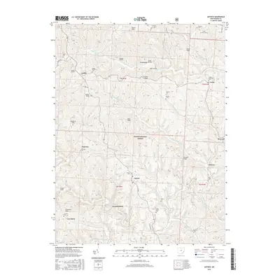
2016 Map of Antioch
USGS Topo · Published 2016About this map
The Little Muskingum River winds through the heart of this Monroe County landscape, carving a complex network of ridges and hollows that define the local geography. Within this dissected terrain, small communities like Antioch and Mechanicsburg serve as central nodes for the surrounding rural area. Significant portions of the landscape are protected as part of the Wayne National Forest, emphasizing the area's timber and conservation character.
Find a feature on this map
66 named features on this map. Tap any name to fly to it.
Don’t see what you’re looking for? This feature index may not catch every label — zoom into the map to look around manually.
Map Details
Editions of this 2016 Antioch Map
This is the sole edition of this map. No revisions or reprints were ever made.
Other maps of this area

1905 · Clarington
USGS Topo · 1:62,500

1905 · New Matamoras
USGS Topo · 1:62,500

1905 · Woodsfield
USGS Topo · 1:62,500

1906 · New Martinsville
USGS Topo · 1:62,500

1924 · New Martinsville
USGS Topo · 1:62,500

1924 · New Matamoras
USGS Topo · 1:62,500

1926 · New Martinsville
USGS Topo · 1:62,500

1926 · New Matamoras
USGS Topo · 1:62,500

1935 · Clarington
USGS Topo · 1:62,500

1940 · Clarington
USGS Topo · 1:62,500