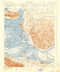
1908 Map of Antioch
USGS Topo · Published 1936About this map
Antioch and Pittsburg anchor the southern reaches of this survey, where the confluence of the Sacramento River and San Joaquin River creates a complex network of marshes and waterways. The landscape is defined by the contrast between the industrializing riverfronts and the high ground of the Montezuma Hills and Potrero Hills. This early century environment relied heavily on waterborne commerce, evidenced by numerous historical docks including Meins Landing, Duttons Landing, and Yolo Landing scattered along the Montezuma Slough.
Find a feature on this map
69 named features on this map. Tap any name to fly to it.
Don’t see what you’re looking for? This feature index may not catch every label — zoom into the map to look around manually.
Map Details
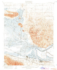
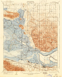
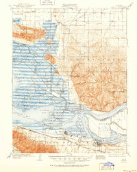
Editions of this 1908 Antioch Map
5 editions found

Other maps of this area

1896 · Carquinez Strait
USGS Topo · 1:62,500

1896 · Mt. Diablo
USGS Topo · 1:62,500

1897 · Concord
USGS Topo · 1:62,500

1898 · Karquines
USGS Topo · 1:62,500

1898 · Mt. Diablo
USGS Topo · 1:62,500

1901 · Karquines
USGS Topo · 1:62,500

1902 · Napa
USGS Topo · 1:125,000

1907 · Antioch
USGS Topo · 1:62,500

1908 · Vacaville
USGS Topo · 1:62,500

1908 · Courtland
USGS Topo · 1:62,500