
1908 Map of Antioch
USGS Topo · Published 1908About this map
The San Joaquin River and Sacramento River converge in this 1908 topographical survey, defining a landscape of complex waterways and tidal islands. The industrial and transit corridor along the southern shore is clearly established, featuring the town of Antioch and the neighboring settlements of Black Diamond and Cornwall. These communities are tied to the regional economy by the Southern Pacific and the Atchison Topeka and Santa Fe railroads, which parallel the shoreline.
Find a feature on this map
82 named features on this map. Tap any name to fly to it.
Don’t see what you’re looking for? This feature index may not catch every label — zoom into the map to look around manually.
Map Details
Editions of this 1908 Antioch Map
5 editions found
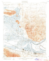
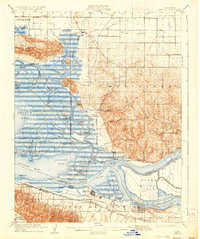
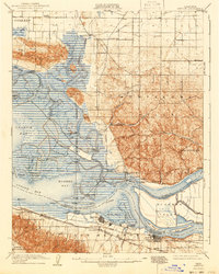
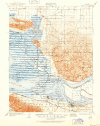
Other maps of this area

1896 · Carquinez Strait
USGS Topo · 1:62,500

1896 · Mt. Diablo
USGS Topo · 1:62,500

1897 · Concord
USGS Topo · 1:62,500

1898 · Karquines
USGS Topo · 1:62,500

1898 · Mt. Diablo
USGS Topo · 1:62,500

1901 · Karquines
USGS Topo · 1:62,500

1902 · Napa
USGS Topo · 1:125,000

1907 · Antioch
USGS Topo · 1:62,500

1908 · Vacaville
USGS Topo · 1:62,500

1908 · Courtland
USGS Topo · 1:62,500