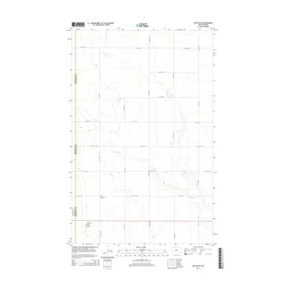
2014 Map of Antler SW
USGS Topo · Published 2014About this map
The prairie landscape along the Renville and Bottineau county line is defined by the winding course of Cut Bank Creek and its western tributary, West Cut Bank Creek. This 2014 survey documents a predominantly agricultural region just outside Mohall, where the terrain is marked by gentle undulations and the intermittent drainage of Spring Coulee. Two significant sites for local genealogists and historians appear in the southern portion of the sheet: Mohall Cemetery and Brotherhood Cemetery. These sites, along with the transition into the Industrial Parkway area, show the intersection of rural heritage and modern township development. The map provides a clear view of the section line road network, including 100th Street NW and 31st Avenue NW, which organize the North Dakota plains into a regular grid.
Find a feature on this map
19 named features on this map. Tap any name to fly to it.
Don’t see what you’re looking for? This feature index may not catch every label — zoom into the map to look around manually.
Map Details
Editions of this 2014 Antler SW Map
This is the sole edition of this map. No revisions or reprints were ever made.
Other maps of this area

1948 · Dokken SW
USGS Topo · 1:24,000

1948 · Mohall
USGS Topo · 1:24,000

1948 · Lansford
USGS Topo · 1:62,500

1949 · Lansford NW
USGS Topo · 1:24,000

1949 · Mohall NE
USGS Topo · 1:24,000

1949 · Lansford NE
USGS Topo · 1:24,000

1949 · Grano NE
USGS Topo · 1:24,000

1950 · Lansford
USGS Topo · 1:62,500

1950 · Antler NW
USGS Topo · 1:24,000

1950 · Mohall
USGS Topo · 1:62,500