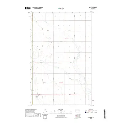
2017 Map of Antler SW
USGS Topo · Published 2017About this map
Mohall sits at the southwestern edge of this North Dakota landscape, situated along the county line where Renville Co and Bottineau Co meet. The geography is defined by the winding paths of Cut Bank Cr and W Cut Bank Cr, which meander through a grid of rural roads such as 93rd St NW and 36th Ave NW. This survey preserves the locations of local landmarks significant to family researchers, including the Mohall Cem and the Brotherhood Cem / Zoar Cem. Further south, Spring Coulee cuts through the terrain, illustrating the natural drainage patterns that have shaped the agricultural development of these townships, labeled here as t162n r83w and t161n r83w.
Find a feature on this map
26 named features on this map. Tap any name to fly to it.
Don’t see what you’re looking for? This feature index may not catch every label — zoom into the map to look around manually.
Map Details
Editions of this 2017 Antler SW Map
This is the sole edition of this map. No revisions or reprints were ever made.
Other maps of this area

1948 · Dokken SW
USGS Topo · 1:24,000

1948 · Mohall
USGS Topo · 1:24,000

1948 · Lansford
USGS Topo · 1:62,500

1949 · Lansford NW
USGS Topo · 1:24,000

1949 · Mohall NE
USGS Topo · 1:24,000

1949 · Lansford NE
USGS Topo · 1:24,000

1949 · Grano NE
USGS Topo · 1:24,000

1950 · Lansford
USGS Topo · 1:62,500

1950 · Antler NW
USGS Topo · 1:24,000

1950 · Mohall
USGS Topo · 1:62,500