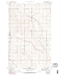
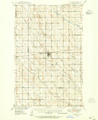
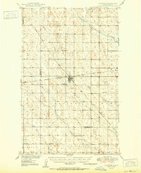
1948 Map of Antler SW
USGS Topo · Published 1980About this map
East Cut Bank Creek and West Cut Bank Creek converge within this rural landscape along the border of Renville and Bottineau Counties. The terrain is defined by the meandering path of Cut Bank Creek as it flows through the civil townships of Hoffman and Cutbank. Settlement patterns here reflect the mid-century agrarian structure of the North Dakota prairie, characterized by section-line roads and scattered community institutions. Genealogists will find the exact locations of local burials at Brotherhood Cem and Mohall Cem, while the placement of School No 1 and School No 2 shows the distribution of early rural education centers before further consolidation. To the south, the landscape is etched by Spring Coulee, marking the drainage towards the more established regional hubs.
Find a feature on this map
11 named features on this map. Tap any name to fly to it.
Don’t see what you’re looking for? This feature index may not catch every label — zoom into the map to look around manually.
Map Details
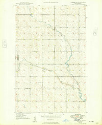
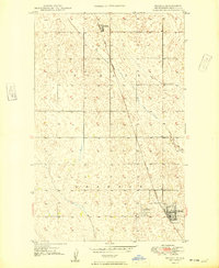
Editions of this 1948 Antler SW Map
3 editions found
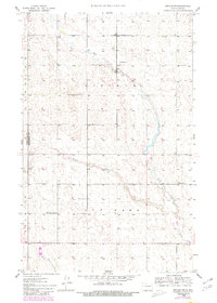
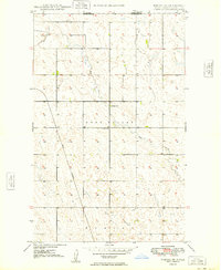
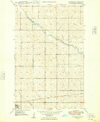
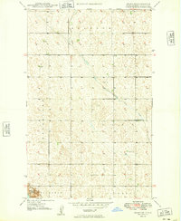
Other maps of this area
1948 · Dokken SW
USGS Topo · 1:24,000
1948 · Mohall
USGS Topo · 1:24,000
1948 · Lansford
USGS Topo · 1:62,500

1949 · Lansford NW
USGS Topo · 1:24,000
1949 · Mohall NE
USGS Topo · 1:24,000
1949 · Lansford NE
USGS Topo · 1:24,000
1949 · Grano NE
USGS Topo · 1:24,000
1950 · Lansford
USGS Topo · 1:62,500
1950 · Antler NW
USGS Topo · 1:24,000
1950 · Mohall
USGS Topo · 1:62,500