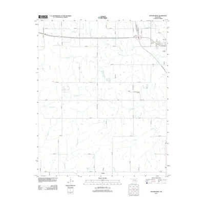
2013 Map of Antlers West
USGS Topo · Published 2013About this map
Nelson stands as a primary settlement node in this rural Oklahoma landscape, situated at the southern edge of a terrain defined by complex creek systems and wetlands. The drainage network is particularly dense here, featuring the meandering Beaver Cr, Dumpling Cr, and the distinctive Lamey Slash marsh area. Transportation through the region is anchored by the Indian Nation Tpke, which intersects with local thoroughfares like Duncan Rd and Milam Rd.
Find a feature on this map
46 named features on this map. Tap any name to fly to it.
Don’t see what you’re looking for? This feature index may not catch every label — zoom into the map to look around manually.
Map Details
Editions of this 2013 Antlers West Map
This is the sole edition of this map. No revisions or reprints were ever made.
Other maps of this area

1901 · Antlers
USGS Topo · 1:125,000

1912 · Antlers
USGS Topo · 1:125,000

1925 · Antlers
USGS Topo · 1:125,000

1950 · Mcalester
USGS Topo · 1:250,000

1957 · Farris
USGS Topo · 1:24,000

1957 · Moyers
USGS Topo · 1:24,000
1961 · Darwin
USGS Topo · 1:24,000

1961 · Antlers East
USGS Topo · 1:24,000

1961 · Antlers West
USGS Topo · 1:24,000

1962 · McAlester
USGS Topo · 1:250,000