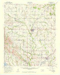
1956 Map of Apache
USGS Topo · Published 1960About this map
Apache serves as a primary hub in this mid-century survey of the Caddo and Comanche county borderlands, where the transition from agricultural plains to the northern edge of the Fort Sill Military Reservation is clearly defined. The landscape is marked by a deep history of mission work and indigenous settlement, evidenced by the J J Methvin Mission, Cache Creek Mission, and the Mahsetka Indian Church. These sites, along with the Comanche Indian Cemetery, anchor the community history of the region between East Cache Creek and the southern highlands.
Find a feature on this map
50 named features on this map. Tap any name to fly to it.
Don’t see what you’re looking for? This feature index may not catch every label — zoom into the map to look around manually.
Map Details
Editions of this 1956 Apache Map
2 editions found

Other maps of this area

1937 · Cache
USGS Topo · 1:48,000

1942 · Cache
USGS Topo · 1:62,500

1945 · Anadarko
USGS Topo · 1:62,500

1946 · Lawton
USGS Topo · 1:62,500

1949 · Mount Scott
USGS Topo · 1:24,000

1949 · Arbuckle Hill
USGS Topo · 1:24,000

1949 · Cement
USGS Topo · 1:62,500

1949 · Elgin
USGS Topo · 1:24,000

1949 · Fort Sill
USGS Topo · 1:24,000

1949 · Nellie
USGS Topo · 1:62,500