
2023 Map of Apache Canyon
USGS Topo · Published 2023About this map
Apache Canyon forms a significant geological signature across this eastern New Mexico landscape, directing the drainage patterns of the Llano Estacado. The area is defined by a network of seasonal watercourses including Saladito Creek, San Jon Creek, and Apache Creek, which have carved deep drainages through the high plains. For genealogists and local historians, the Brown Cem serves as a critical point of reference for early rural settlement patterns in Quay County. The map details the transition from the upland mesas down to the canyon floors, tracing the remote road network of routes like Quay Road V and QR 51 that link isolated ranching lands. This survey highlights the complex topography where Dog Canyon Creek and Puerto Creek intersect with the township and range boundaries of the T8N and T9N blocks.
Find a feature on this map
20 named features on this map. Tap any name to fly to it.
Don’t see what you’re looking for? This feature index may not catch every label — zoom into the map to look around manually.
Map Details
Editions of this 2023 Apache Canyon Map
This is the sole edition of this map. No revisions or reprints were ever made.
Other maps of this area

1930 · Tucumcari
USGS Topo · 1:125,000

1954 · Tucumcari
USGS Topo · 1:250,000

1954 · Clovis
USGS Topo · 1:250,000

1958 · Clovis
USGS Topo · 1:250,000

1958 · Tucumcari
USGS Topo · 1:250,000

1968 · San Jon
USGS Topo · 1:24,000

1968 · Bedford Hill
USGS Topo · 1:24,000
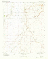
1968 · Tucumcari SE
USGS Topo · 1:24,000
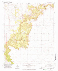
1971 · Apache Canyon
USGS Topo · 1:24,000

1971 · Wheatland
USGS Topo · 1:24,000