
1963 Map of Apache Summit
USGS Topo · Published 1967About this map
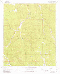
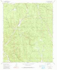
The Mescalero Apache Indian Reservation landscape is defined by the winding course of Tularosa Canyon and its many tributaries during the early 1960s. This survey captures a terrain marked by ranching and water management infrastructure, where named features like Pete Gaines Tank, Pete Gaines Well, and Pete Gaines Canyon indicate historical land use and family associations in Otero County. High points such as Harley Mtn and the central Apache Summit overlook a network of seasonal watercourses, including the North Fork Tularosa Canyon and South Fork Tularosa Canyon. Evidence of early recreation and utility is present via a Campground and Sewage Disposal Ponds near the summit, while smaller features like Telephone Tank and Wink Tank suggest the localized development of the reservation's high-country resources.
Find a feature on this map
28 named features on this map. Tap any name to fly to it.
Don’t see what you’re looking for? This feature index may not catch every label — zoom into the map to look around manually.
Map Details
Editions of this 1963 Apache Summit Map
Other maps of this area

1950 · Sierra Blanca Peak
USGS Topo · 1:62,500

1950 · Mescalero
USGS Topo · 1:62,500

1955 · Roswell
USGS Topo · 1:250,000

1958 · Roswell
USGS Topo · 1:250,000

1962 · Roswell
USGS Topo · 1:250,000

1963 · Ruidoso Downs
USGS Topo · 1:24,000

1963 · Ruidoso
USGS Topo · 1:24,000

1963 · Firman Canyon
USGS Topo · 1:24,000
1963 · Whitetail
USGS Topo · 1:24,000
1963 · Elk-Silver
USGS Topo · 1:24,000