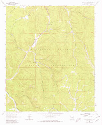
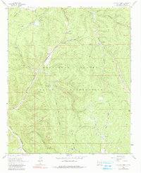
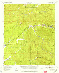
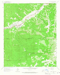
1963 Map of Apache Summit
USGS Topo · Published 1980About this map
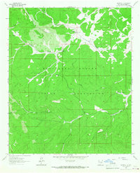
Mescalero Apache Indian Reservation defines the high-altitude landscape of this 1963 survey, where tribal lands are dissected by deep canyon systems. The tiny settlement of Apache Summit sits at a critical junction of high-country drainage, marking a point where infrastructure like a Radio Tower and Sewage Disposal Ponds meet the natural terrain. The network of water management features, including Pete Gaines Well and numerous tanks like Chatto Tank or Goat Tank, reveals the essential role of water security in these arid uplands.
Find a feature on this map
35 named features on this map. Tap any name to fly to it.
Don’t see what you’re looking for? This feature index may not catch every label — zoom into the map to look around manually.
Map Details
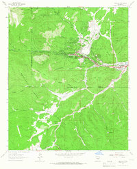
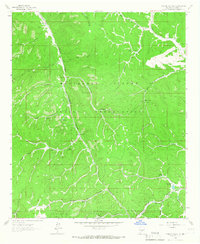
Editions of this 1963 Apache Summit Map
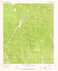
Other maps of this area
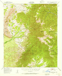
1950 · Sierra Blanca Peak
USGS Topo · 1:62,500
1950 · Mescalero
USGS Topo · 1:62,500

1955 · Roswell
USGS Topo · 1:250,000

1958 · Roswell
USGS Topo · 1:250,000

1962 · Roswell
USGS Topo · 1:250,000
1963 · Ruidoso Downs
USGS Topo · 1:24,000
1963 · Ruidoso
USGS Topo · 1:24,000
1963 · Firman Canyon
USGS Topo · 1:24,000
1963 · Apache Summit
USGS Topo · 1:24,000
1963 · Whitetail
USGS Topo · 1:24,000