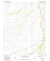
1970 Map of Apishapa Bridge
USGS Topo · Published 1985About this map
The Apishapa River carves a deep path through this section of the High Plains, defining the landscape where Pueblo and Otero counties meet. The water-sculpted terrain is marked by numerous seasonal drainages, including Mustang Creek, Powell Arroyo, and Saunders Arroyo, which illustrate the complex erosion patterns common to this arid region. Near the eastern edge, the eponymous Apishapa Bridge provides a critical crossing over the river, serving as a primary focal point for local transportation in an otherwise open expanse.
Find a feature on this map
10 named features on this map. Tap any name to fly to it.
Don’t see what you’re looking for? This feature index may not catch every label — zoom into the map to look around manually.
Map Details
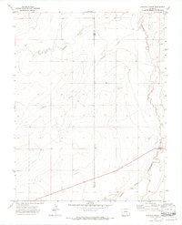
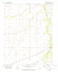
Editions of this 1970 Apishapa Bridge Map
3 editions found
Other maps of this area

1891 · Catlin
USGS Topo · 1:125,000

1891 · Timpas
USGS Topo · 1:125,000

1891 · Nepesta
USGS Topo · 1:125,000

1891 · Apishapa
USGS Topo · 1:125,000

1893 · Nepesta
USGS Topo · 1:125,000

1893 · Apishapa
USGS Topo · 1:125,000

1893 · Catlin
USGS Topo · 1:125,000

1894 · Timpas
USGS Topo · 1:125,000

1897 · Apishapa
USGS Topo · 1:125,000

1904 · Nepesta
USGS Topo · 1:125,000